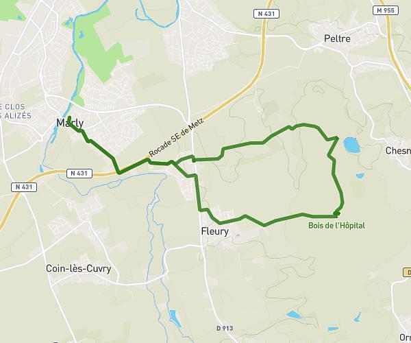
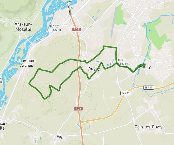
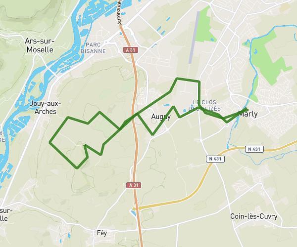
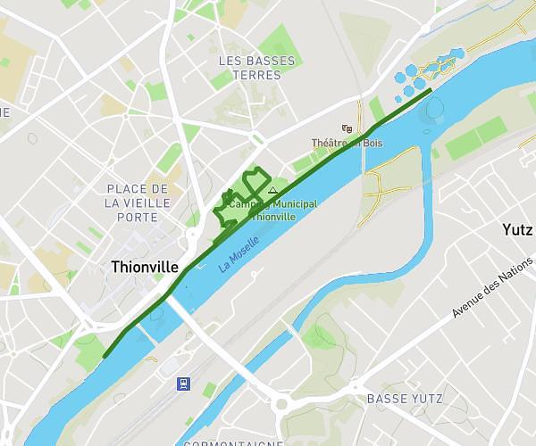
This running route covers 9.965mi starting from Scy-Chazelles, Moselle. The run is a loop trail and returns to the trailhead. This run is rated as hard, expect about 2h17m to complete it. The route has an elevation gain of 39ft and an elevation loss of 16ft.
30 mars2025
Route details
4.35mph
Speed
1572 kcal
Calories burned
Loop trail
Route type
538ft
Min altitude
577ft
Max altitude
Route profile
39ft
Elevation gain
16ft
Elevation loss
538ft
Min altitude
577ft
Max altitude
How to get there
Trailhead: Rue Du Baoëton, 57160 Scy-Chazelles
GPS coordinates of the trailhead: 49.10833, 6.1098 / 49°6'29'' N, 6°6'35'' E