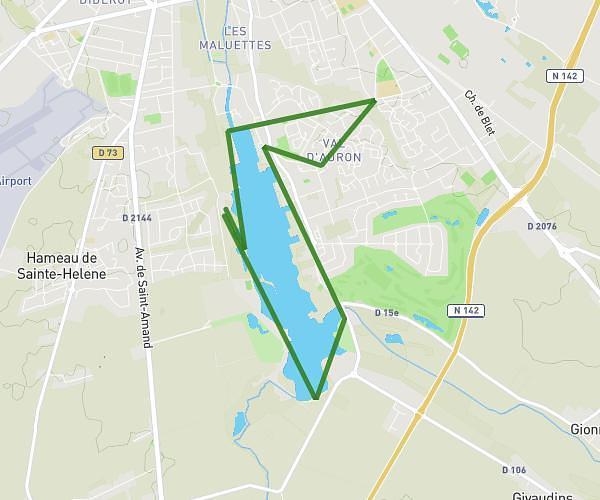
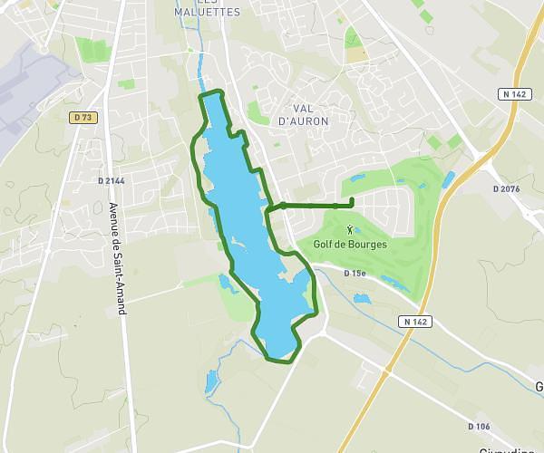
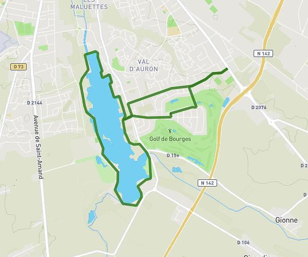
This hiking trail covers 3.282mi starting from Bourges, Cher. The hike does not return to the trailhead and ends near Cours Avaricum, 18000 Bourges. This hike is rated as easy, plan for about 52m to complete it. The route has an elevation gain of 138ft and an elevation loss of 161ft.
Travail
Route details
3.78mph
Speed
369 kcal
Calories burned
1.7%
Avg grade
Point to point
Route type
423ft
Min altitude
525ft
Max altitude
Route profile
138ft
Elevation gain
161ft
Elevation loss
423ft
Min altitude
525ft
Max altitude
How to get there
Trailhead: Allée Marcel Carné, 18000 Bourges
GPS coordinates of the trailhead: 47.05436, 2.41322 / 47°3'15'' N, 2°24'47'' E