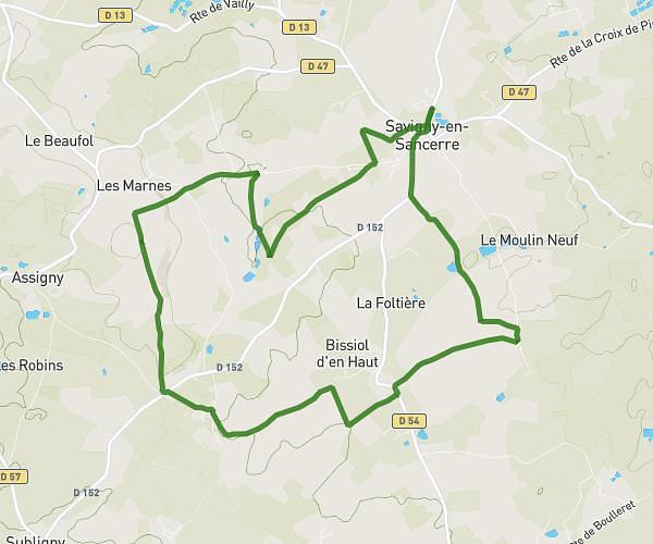
This hiking trail covers 5.951mi starting from Henrichemont, Cher. The hike is a loop trail and returns to the trailhead. This hike is rated as moderate, plan for about 2h10m to complete it. The route has an elevation gain of 535ft and an elevation loss of 531ft.
Jayko la borne
Route details
2.75mph
Speed
936 kcal
Calories burned
3.4%
Avg grade
Loop trail
Route type
945ft
Min altitude
1296ft
Max altitude
Route profile
535ft
Elevation gain
531ft
Elevation loss
945ft
Min altitude
1296ft
Max altitude
How to get there
Trailhead: 20 Grand' Route, 18250 Henrichemont, France
GPS coordinates of the trailhead: 47.285633, 2.579672 / 47°17'8'' N, 2°34'46'' E