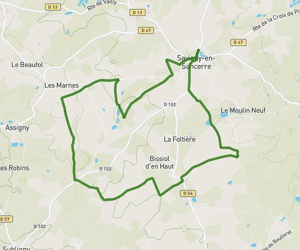
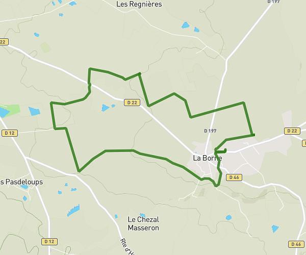
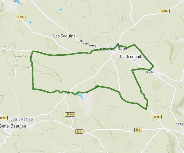
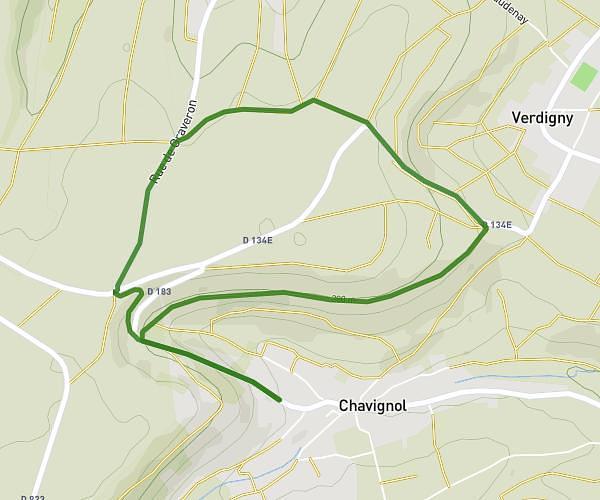
This hiking trail covers 11.3mi starting from Sancerre, Cher. The hike is a loop trail and returns to the trailhead. This hike is rated as strenuous, plan for about 4h25m to complete it. The route has an elevation gain of 1608ft and an elevation loss of 1585ft.
Amigny sancerre
Route details
2.56mph
Speed
1938 kcal
Calories burned
5.4%
Avg grade
Loop trail
Route type
528ft
Min altitude
991ft
Max altitude
Route profile
1608ft
Elevation gain
1585ft
Elevation loss
528ft
Min altitude
991ft
Max altitude
How to get there
Trailhead: 12 Rue Des Vaux, 18300 Sancerre, France
GPS coordinates of the trailhead: 47.326044, 2.802208 / 47°19'33'' N, 2°48'7'' E