MapPlanner
9.509mi
Distance
3h28m
Duration
+886ft
Elevation gain
-886ft
Elevation loss
Moderate
Level

15 Km

Route details

2.74mph
Speed
1499 kcal
Calories burned
3.5%
Avg grade
Loop trail
Route type
663ft
Min altitude
1145ft
Max altitude

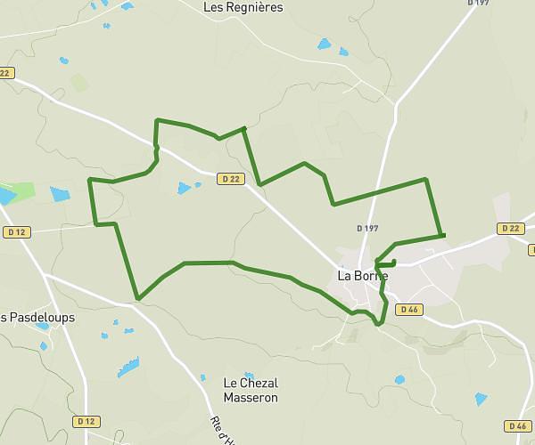
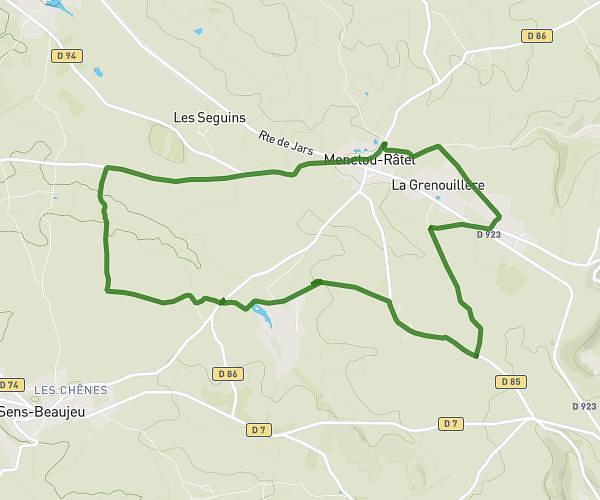
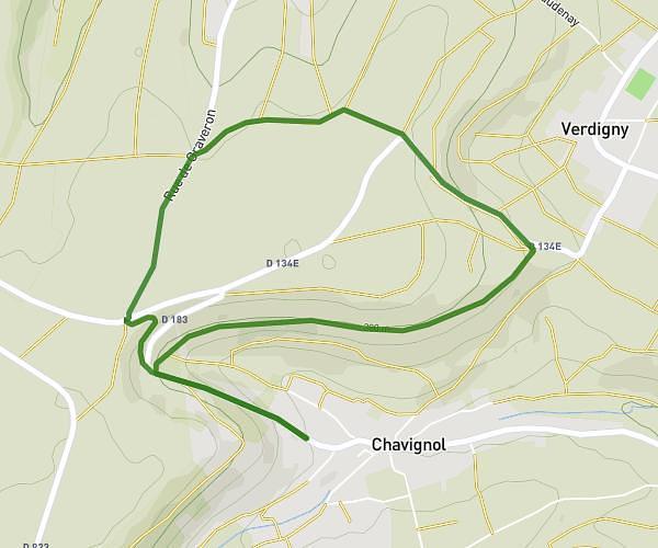
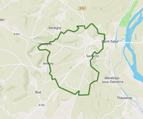
This hiking trail covers 9.509mi starting from Savigny-en-Sancerre, Cher. The hike is a loop trail and returns to the trailhead. This hike is rated as moderate, plan for about 3h28m to complete it. The route has an elevation gain of 886ft and an elevation loss of 886ft.

Description of the route by the creator

1st Supply Ld "les sorins" and 2nd Supply "le fait des Marnes". Contact 06.59.62.35.92 or 06.99.45.43.57 or 06.98.05.68.30

(Description automatically translated)

Route profile

886ft
Elevation gain
886ft
Elevation loss
663ft
Min altitude
1145ft
Max altitude

How to get there

Trailhead: 5 Rue Du Stade, 18240 Savigny-en-Sancerre, France

GPS coordinates of the trailhead: 47.444058, 2.810587 / 47°26'38'' N, 2°48'38'' E

Caution: May Cross Private Property

This route may pass through or near private property. Always respect posted signs, obtain permission where required, and follow local trespassing laws. MapPlanner does not guarantee public access along any route.

Safety Notice

Trail and road conditions may change without notice due to weather, construction, or other factors. Always verify current conditions before heading out. You are responsible for your own safety — follow local signage, obey traffic laws, and use your best judgment on the trail.