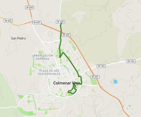
This running route covers 2.036mi starting from Colmenar Viejo, Madrid. The run does not return to the trailhead and ends near Calleja Dehesa 4, 28770 Colmenar Viejo, Madrid, Spain. This run is rated as easy, expect about 22m to complete it. The route has an elevation gain of 43ft and an elevation loss of 115ft.
Ruta2
Route details
5.56mph
Speed
252 kcal
Calories burned
Point to point
Route type
2946ft
Min altitude
3058ft
Max altitude
Route profile
43ft
Elevation gain
115ft
Elevation loss
2946ft
Min altitude
3058ft
Max altitude
How to get there
Trailhead: Cordel Del Hoyo De Manzanares, 28770 Colmenar Viejo, Madrid, Spain
GPS coordinates of the trailhead: 40.683996, -3.76929 / 40°41'2'' N, 3°46'9'' W