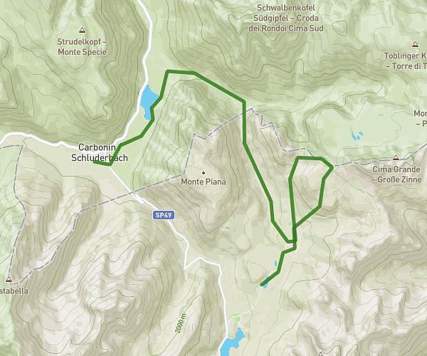
This hiking trail covers 4.57mi starting from Auronzo di Cadore, Belluno. The hike does not return to the trailhead and ends near Forcella Longeres, 32041 Auronzo di Cadore. This hike is rated as hard, plan for about 2h36m to complete it. The route has an elevation gain of 2047ft and an elevation loss of 262ft.
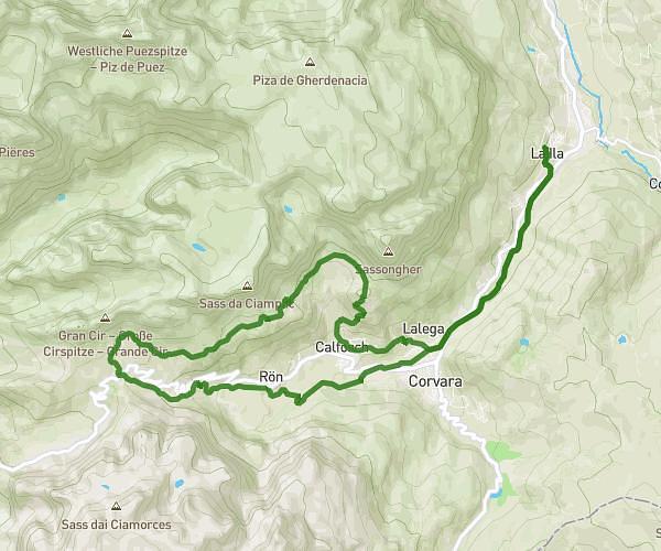
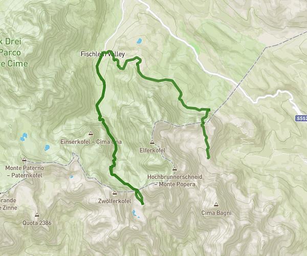
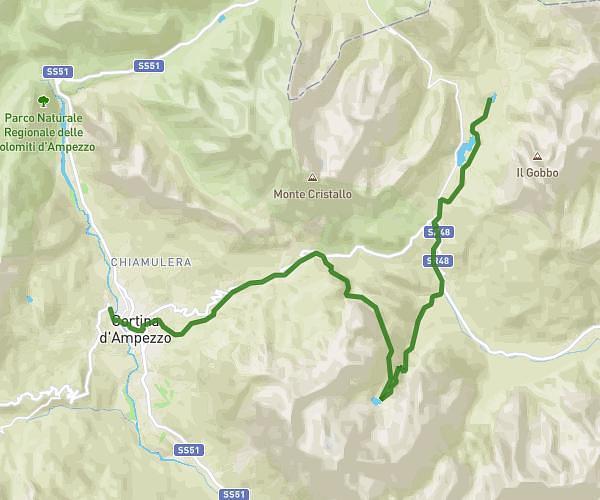
Dolomite - Etape 1
Route details
1.76mph
Speed
1246 kcal
Calories burned
9.6%
Avg grade
Point to point
Route type
5738ft
Min altitude
7575ft
Max altitude
Steep climb
Route profile
2047ft
Elevation gain
262ft
Elevation loss
5738ft
Min altitude
7575ft
Max altitude
How to get there
Trailhead: Via Monte Piana, 32041 Auronzo di Cadore
GPS coordinates of the trailhead: 46.58292, 12.25258 / 46°34'58'' N, 12°15'9'' E