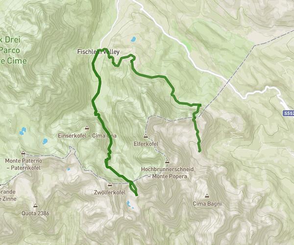
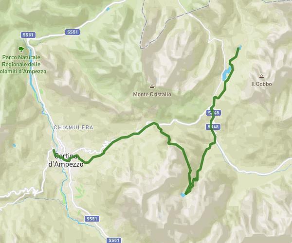
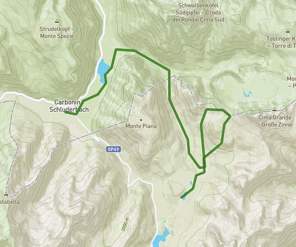
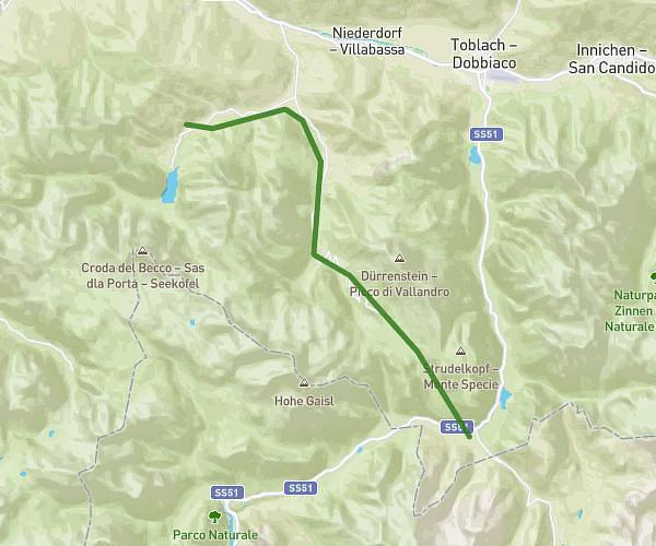
This hiking trail covers 9.859mi starting from Auronzo di Cadore, Belluno. The hike does not return to the trailhead and ends near Via Braies Di Fuori, 39030 Braies. This hike is rated as strenuous, plan for about 7h55m to complete it. The route has an elevation gain of 2051ft and an elevation loss of 3015ft.
Dolomite - Etape 2
Route details
1.24mph
Speed
3551 kcal
Calories burned
9.7%
Avg grade
Point to point
Route type
4633ft
Min altitude
7612ft
Max altitude
Steep climb
Route profile
2051ft
Elevation gain
3015ft
Elevation loss
4633ft
Min altitude
7612ft
Max altitude
How to get there
Trailhead: Forcella Longeres, 32041 Auronzo di Cadore
GPS coordinates of the trailhead: 46.61223, 12.29609 / 46°36'44'' N, 12°17'45'' E