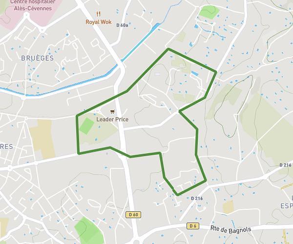
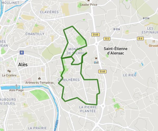
This walking route covers 0.501mi starting from Saint-Hippolyte-du-Fort, Gard. The walk does not return to the trailhead and ends near 33 Boulevard Du Temple, 30170 Saint-Hippolyte-du-Fort, France. This walk is rated as easy, plan for about 15m1s to complete it. The route has an elevation gain of 26ft and an elevation loss of 23ft.
Itinéraire court 800m 15 min à 3,3km/h
Route details
29:59/mi
Pace
61 kcal
Calories burned
Point to point
Route type
531ft
Min altitude
551ft
Max altitude
Route profile
26ft
Elevation gain
23ft
Elevation loss
531ft
Min altitude
551ft
Max altitude
How to get there
Trailhead: 35 Chemin De L'argentesse, 30170 Saint-Hippolyte-du-Fort, France
GPS coordinates of the trailhead: 43.96133, 3.85263 / 43°57'40'' N, 3°51'9'' E