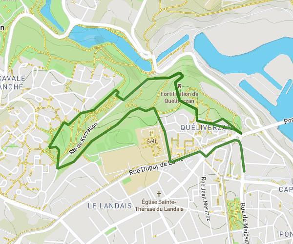
This running route covers 8.017mi starting from Brélès, Finistère. The run is a loop trail and returns to the trailhead. This run is rated as hard, expect about 1h26m to complete it. The route has an elevation gain of 692ft and an elevation loss of 689ft.
Brélès jusqu'au château de kergroades
Route details
5.59mph
Speed
983 kcal
Calories burned
Loop trail
Route type
69ft
Min altitude
302ft
Max altitude
Route profile
692ft
Elevation gain
689ft
Elevation loss
69ft
Min altitude
302ft
Max altitude
How to get there
Trailhead: 18 Rue Al Lannog, 29810 Brélès, France
GPS coordinates of the trailhead: 48.474652, -4.70779 / 48°28'28'' N, 4°42'28'' W