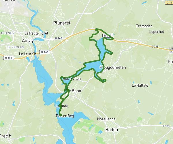
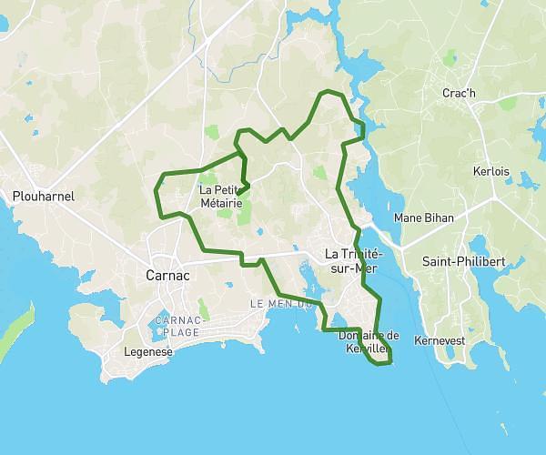
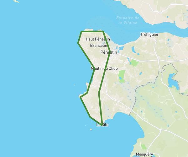
This running route covers 2.609mi starting from Saint-Gildas-de-Rhuys, Morbihan. The run is a loop trail and returns to the trailhead. This run is rated as easy, expect about 27m to complete it. The route has an elevation gain of 151ft and an elevation loss of 157ft.
20/08/2024
Route details
5.8mph
Speed
309 kcal
Calories burned
Loop trail
Route type
43ft
Min altitude
125ft
Max altitude
Route profile
151ft
Elevation gain
157ft
Elevation loss
43ft
Min altitude
125ft
Max altitude
How to get there
Trailhead: Chemin Du Goh Vras, 56730 Saint-Gildas-de-Rhuys
GPS coordinates of the trailhead: 47.50862, -2.84585 / 47°30'31'' N, 2°50'45'' W