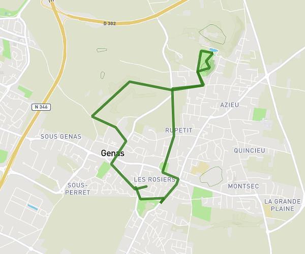
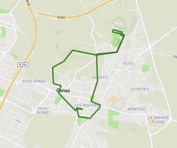
This running route covers 5.521mi starting from Versailleux, Ain. The run is a loop trail and returns to the trailhead. This run is rated as moderate, expect about 53m to complete it. The route has an elevation gain of 26ft and an elevation loss of 20ft.
versailleux 1 (8km900)
Route details
6.25mph
Speed
606 kcal
Calories burned
Loop trail
Route type
925ft
Min altitude
951ft
Max altitude
Route profile
26ft
Elevation gain
20ft
Elevation loss
925ft
Min altitude
951ft
Max altitude
How to get there
Trailhead: Route De Villars, 01330 Versailleux
GPS coordinates of the trailhead: 45.98022, 5.10248 / 45°58'48'' N, 5°6'8'' E