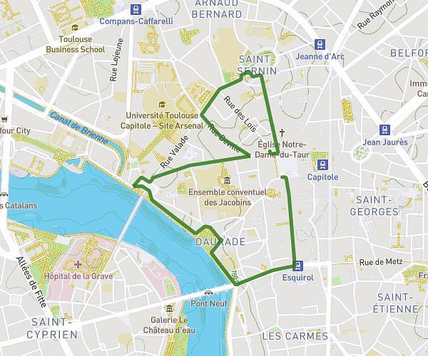
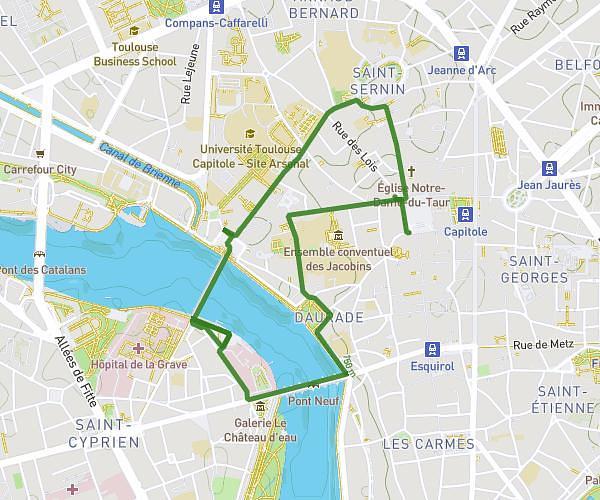
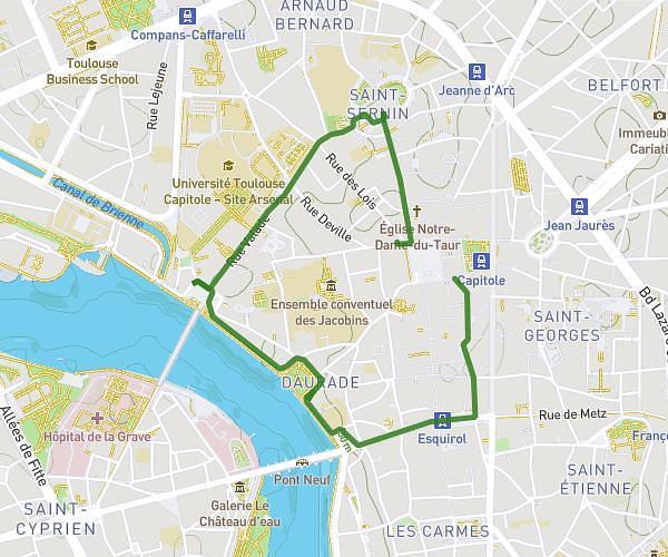
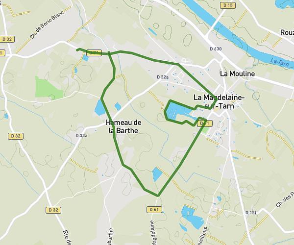
This walking route covers 6.847mi starting from Toulouse, Haute-Garonne. The walk does not return to the trailhead and ends near 136 Rue Henri Desbals, 31100 Toulouse, France. This walk is rated as hard, plan for about 2h27m to complete it. The route has an elevation gain of 240ft and an elevation loss of 236ft.
PARCOURS DÉFINITIF
Route details
21:27/mi
Pace
600 kcal
Calories burned
Point to point
Route type
423ft
Min altitude
512ft
Max altitude
Route profile
240ft
Elevation gain
236ft
Elevation loss
423ft
Min altitude
512ft
Max altitude
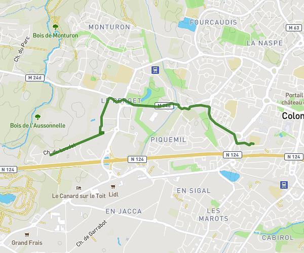
How to get there
Trailhead: 35 Avenue Jean Moulin, 31400 Toulouse, France
GPS coordinates of the trailhead: 43.5799, 1.44175 / 43°34'47'' N, 1°26'30'' E