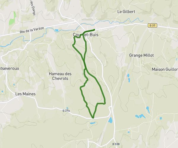
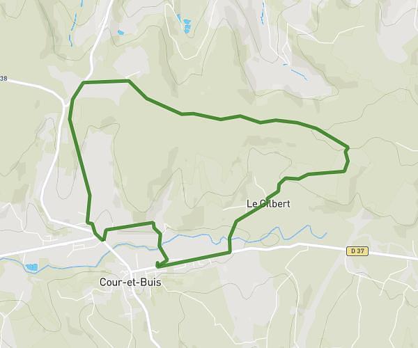
This running route covers 6.403mi starting from Saint-Priest, Rhône. The run is a loop trail and returns to the trailhead. This run is rated as moderate, expect about 1h17m to complete it. The route has an elevation gain of 289ft and an elevation loss of 289ft.
foulées sanpriotes
Route details
4.97mph
Speed
884 kcal
Calories burned
Loop trail
Route type
679ft
Min altitude
817ft
Max altitude
Route profile
289ft
Elevation gain
289ft
Elevation loss
679ft
Min altitude
817ft
Max altitude
How to get there
Trailhead: Avenue Pierre Mendès-France, 69800 Saint-Priest
GPS coordinates of the trailhead: 45.6963, 4.95713 / 45°41'46'' N, 4°57'25'' E