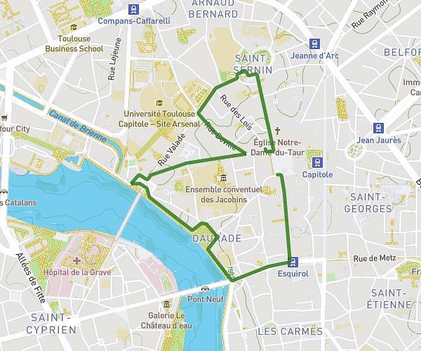
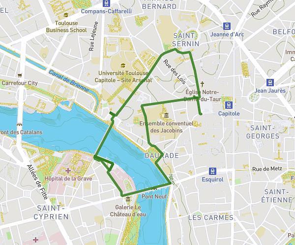
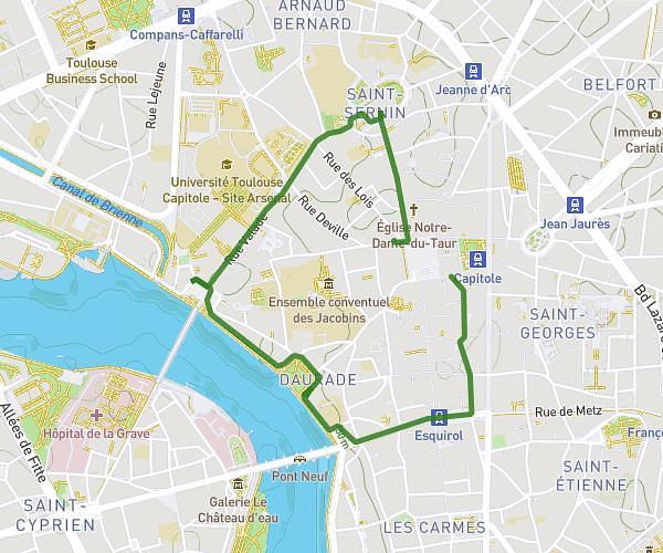
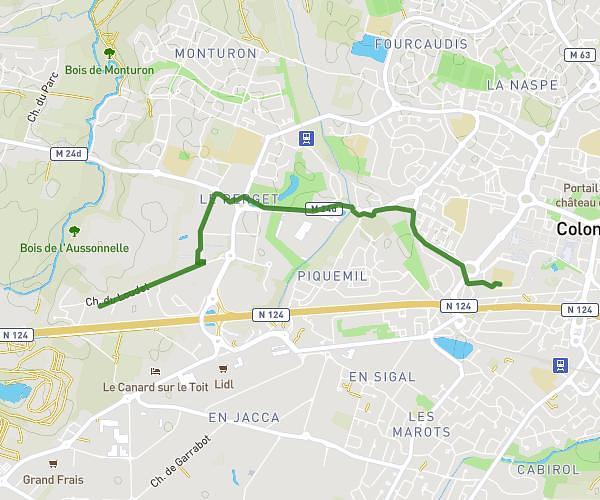
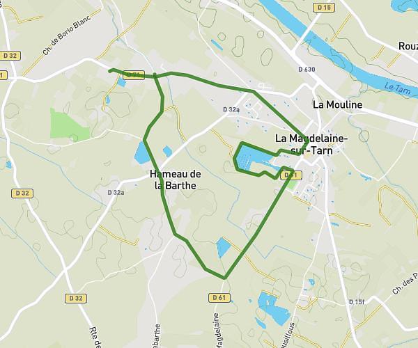
This walking route covers 4.471mi starting from Quint-Fonsegrives, Haute-Garonne. The walk is a loop trail and returns to the trailhead. This walk is rated as moderate, plan for about 1h36m to complete it. The route has an elevation gain of 210ft and an elevation loss of 213ft.
MARCHE LUNDI 6
Route details
21:27/mi
Pace
392 kcal
Calories burned
Loop trail
Route type
453ft
Min altitude
499ft
Max altitude
Route profile
210ft
Elevation gain
213ft
Elevation loss
453ft
Min altitude
499ft
Max altitude
How to get there
Trailhead: 11 Le Mail, 31130 Quint-Fonsegrives, France
GPS coordinates of the trailhead: 43.583483, 1.529917 / 43°35'0'' N, 1°31'47'' E