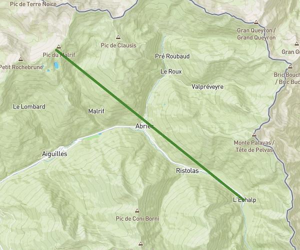
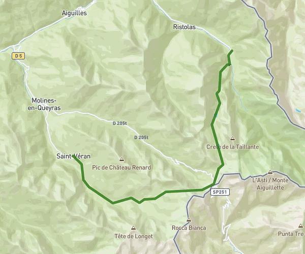
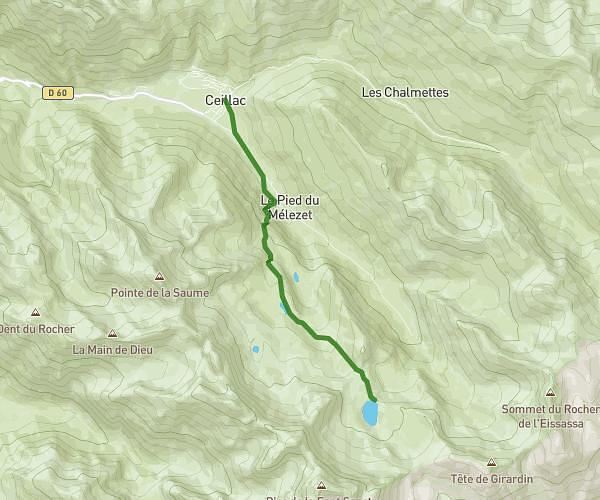
This hiking trail covers 7.791mi starting from Ceillac, Hautes-Alpes. The hike does not return to the trailhead and ends near 203 Rue De Pierre Belle, 05350 Saint-Véran, France. This hike is rated as strenuous, plan for about 3h56m to complete it. The route has an elevation gain of 3848ft and an elevation loss of 2654ft.
Tour du queyras étape 1
Route details
1.98mph
Speed
1910 kcal
Calories burned
15.8%
Avg grade
Point to point
Route type
5407ft
Min altitude
8681ft
Max altitude
High altitude
Steep climb
Route profile
3848ft
Elevation gain
2654ft
Elevation loss
5407ft
Min altitude
8681ft
Max altitude
How to get there
Trailhead: 22 Route Du Cristillan, 05600 Ceillac, France
GPS coordinates of the trailhead: 44.66854, 6.778262 / 44°40'6'' N, 6°46'41'' E