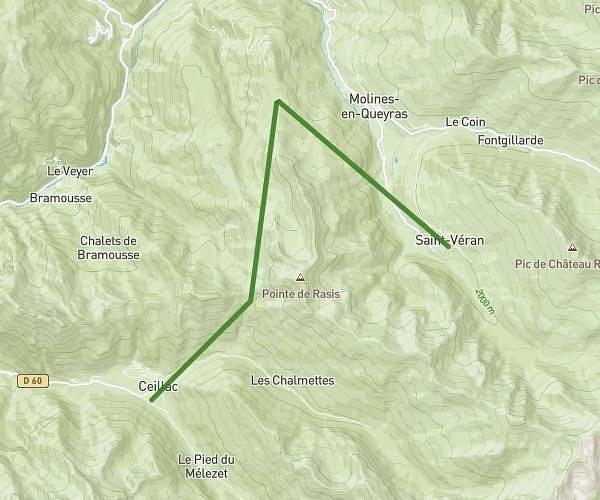
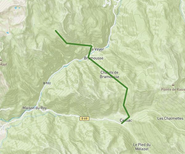
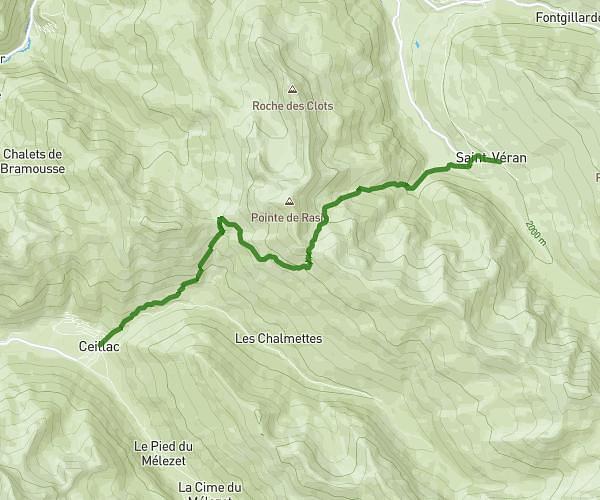
MapPlanner
8,94mi
Distance
5h13m
Duration
2,06mph
Speed
3360ft
Elevation +
3323ft
Elevation -
6663ft
Min altitude
9806ft
Max altitude
Difficult
Level

Pic et observatoire de Château Renard depusi le pont de Lariane

View of the Col de Longet
View to the east and the observatory from the peak
View of the south and the observatory from the peak
View to the west with the Écrins in the background

Route details

Explore this hiking route of 8,94mi starting from Molines-en-Queyras, Hautes-Alpes. The hike is a loop and returns to the starting point. This hike is rated as difficult, plan for about 5h13m to complete it. The route has a positive elevation gain of 3360ft and a negative elevation loss of 3323ft.

Description of the route by the creator

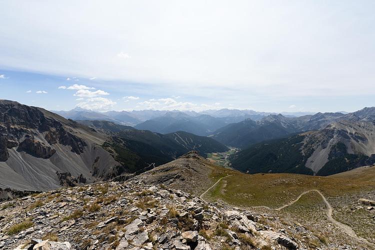
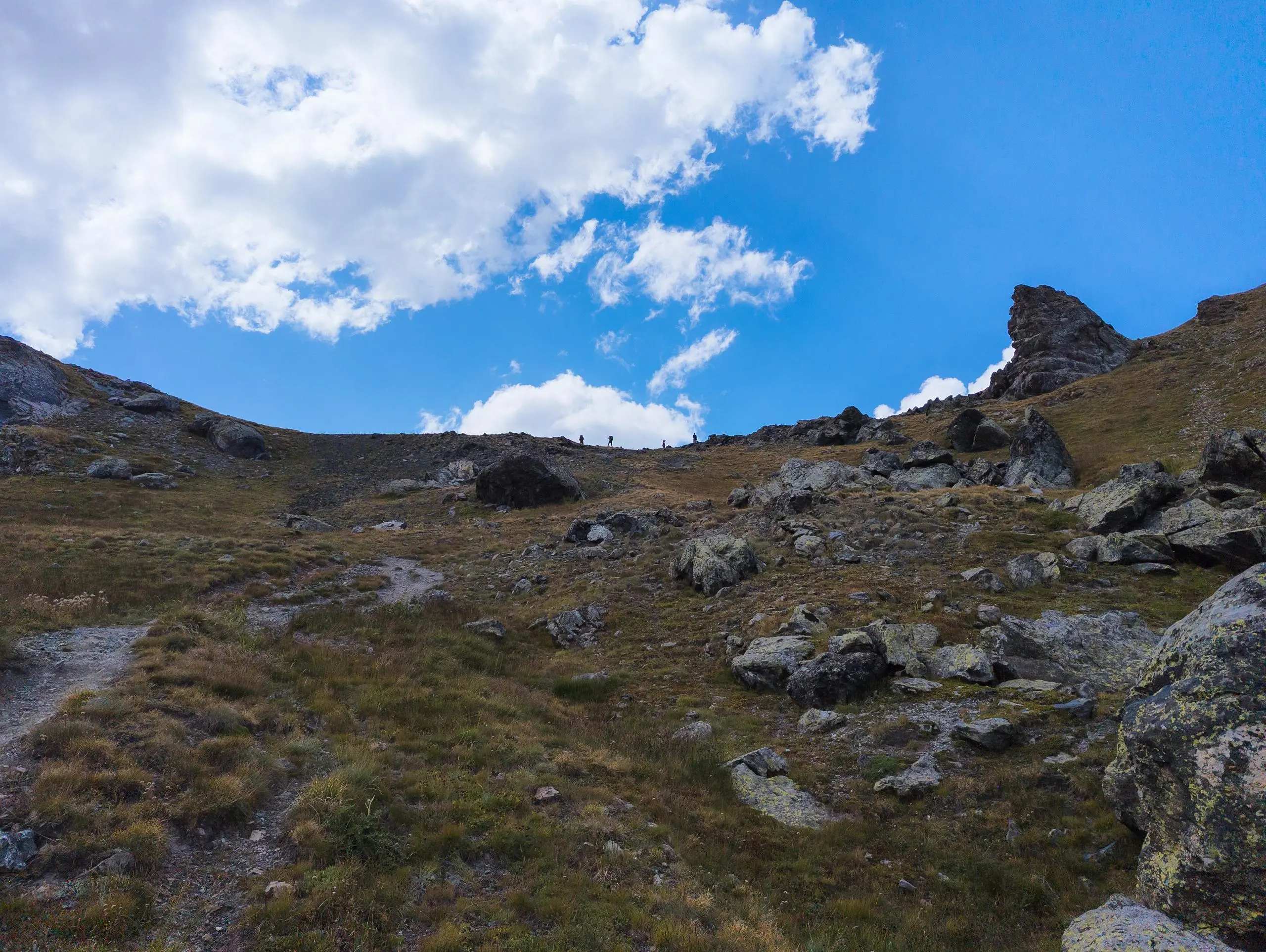
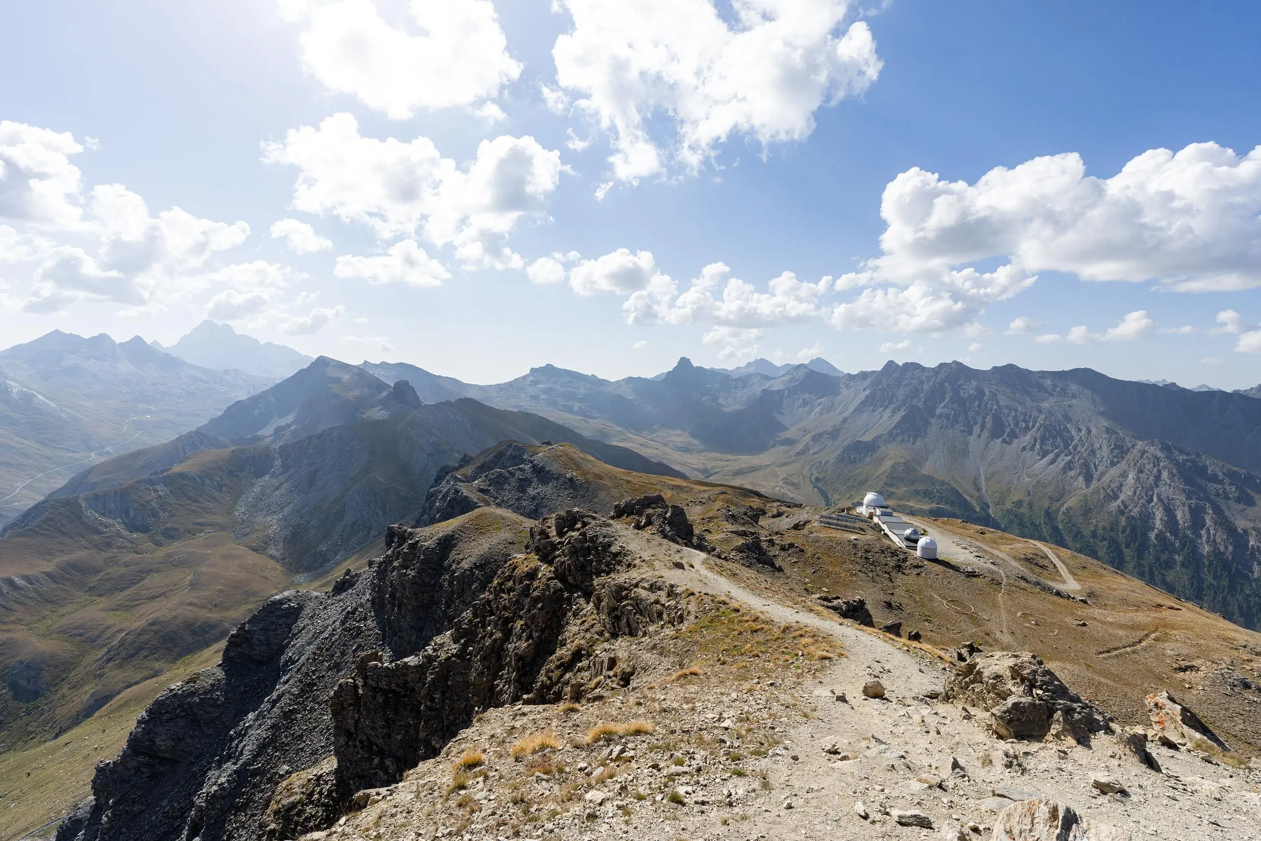
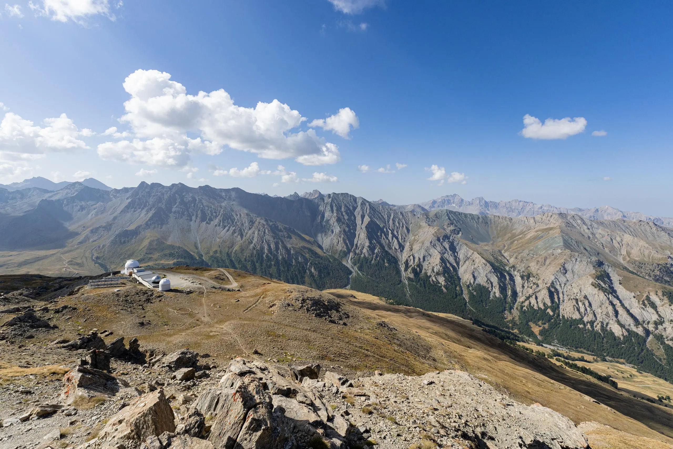
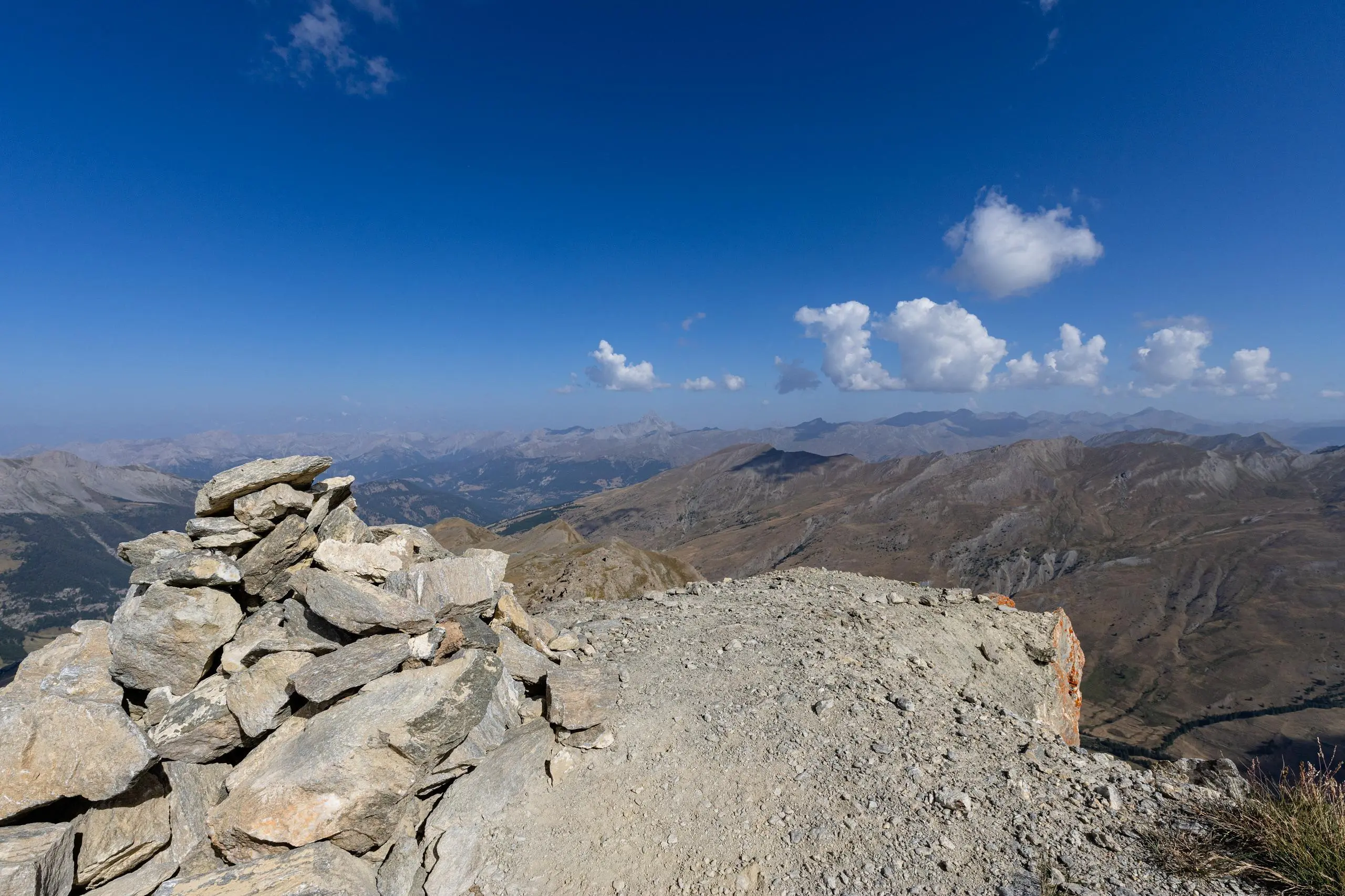
Park at the Lariane bridge parking lot, then follow the signs for the first ascent to the Col de Longet (take care to turn right shortly after the start of the path, there are only markings on the ground). After the pass, follow either the path along the mountain (the shortest but narrowest) or take the main path and the road leading to the observatory. Once at the observatory, the view of Pic de Château Renard is well worth the detour. Take the same route back. No particular difficulty, apart from the length of the path and the difference in altitude.

(Description automatically translated)

Route profile

3360ft
Elevation +
3323ft
Elevation -
6663ft
Min altitude
9806ft
Max altitude

How to get there

Route starting point: Pont De Lariane, 05350 Molines-en-Queyras, France

GPS coordinates of the starting point: 44.71907, 6.90378 / 44°43'8'' N, 6°54'13'' E