MapPlanner
3.268mi
Distance
2h50m
Duration
+1316ft
Elevation gain
-1316ft
Elevation loss
Moderate
Level

Col d'Izoard - Clot la Cîme

View to the south from Clot la Cîme
View east from Clot la Cîme
View north from Clot la Cîme
View west from Clot la Cîme

Route details

1.16mph
Speed
1341 kcal
Calories burned
15.2%
Avg grade
Loop trail
Route type
7730ft
Min altitude
8930ft
Max altitude
High altitude Steep climb

This hiking trail covers 3.268mi starting from Arvieux, Hautes-Alpes. The hike is a loop trail and returns to the trailhead. This hike is rated as moderate, plan for about 2h50m to complete it. The route has an elevation gain of 1316ft and an elevation loss of 1316ft.

Description of the route by the creator

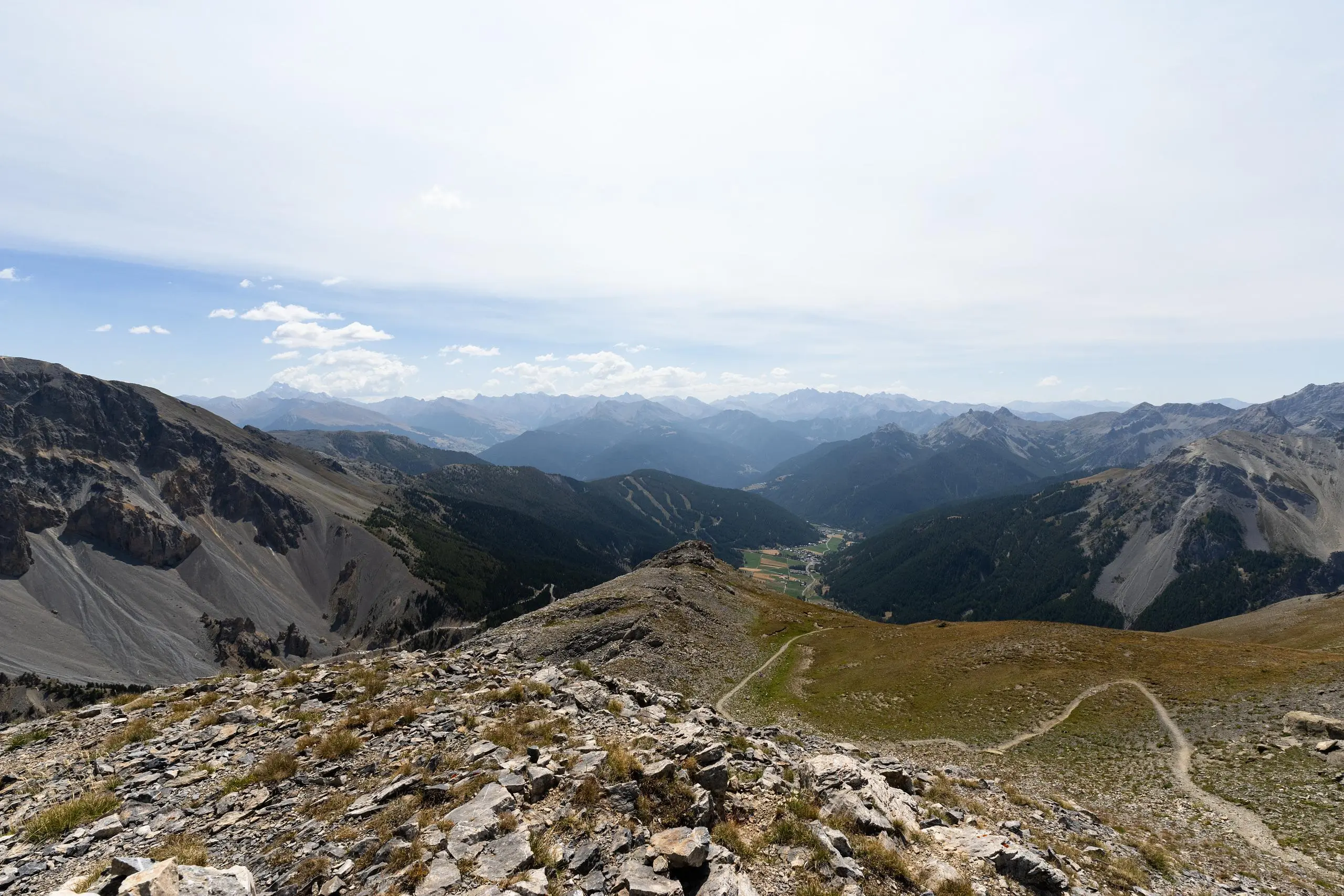
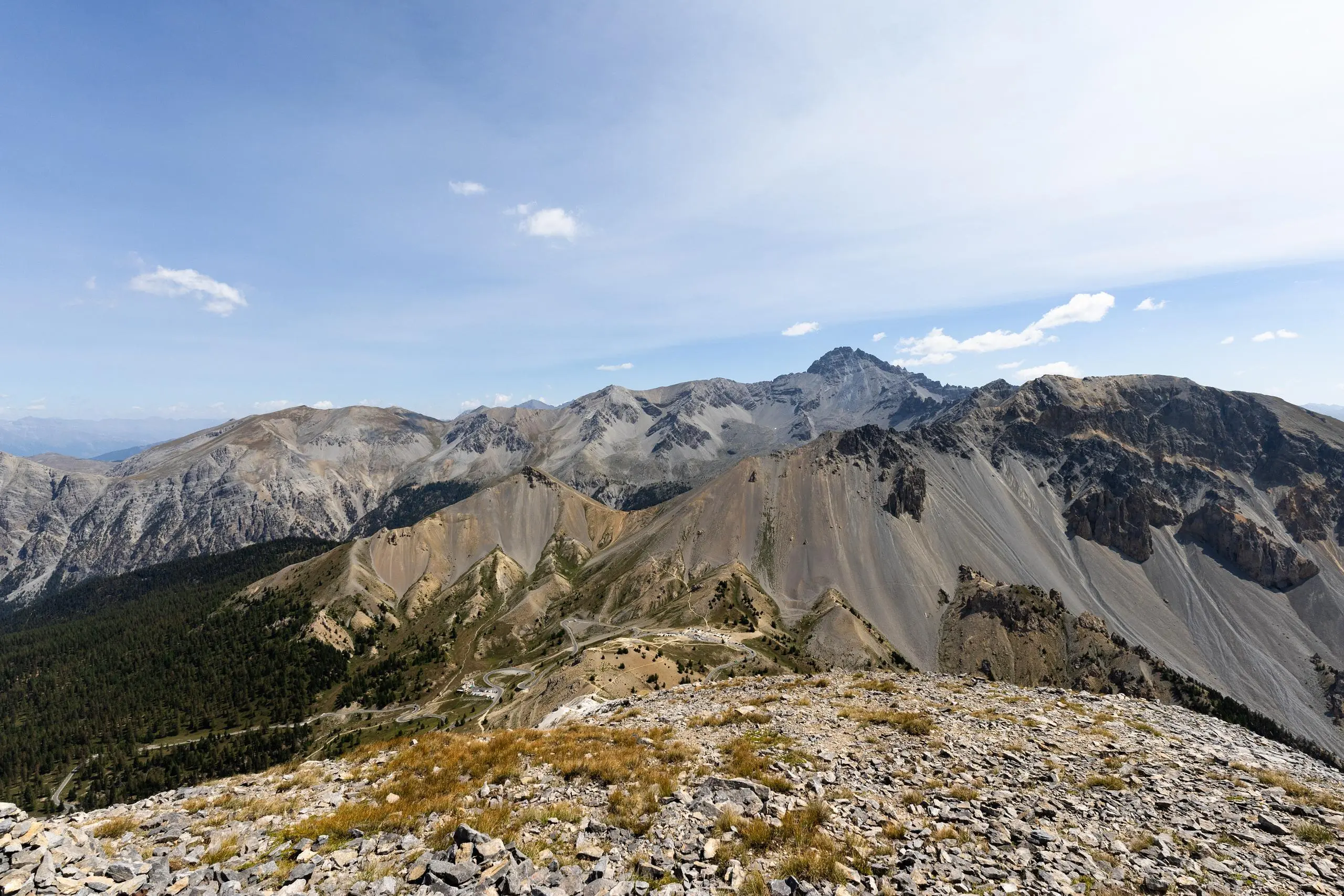
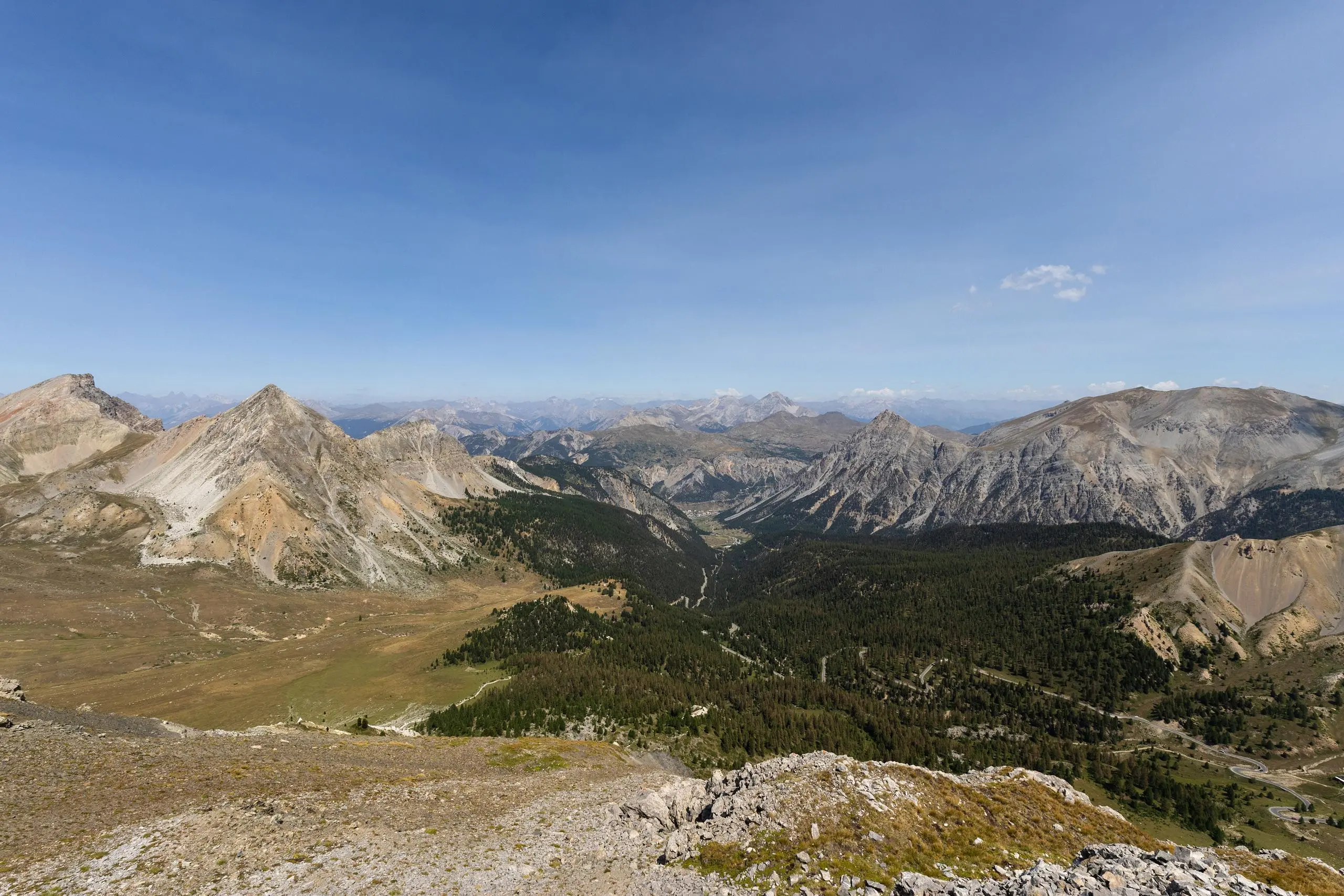
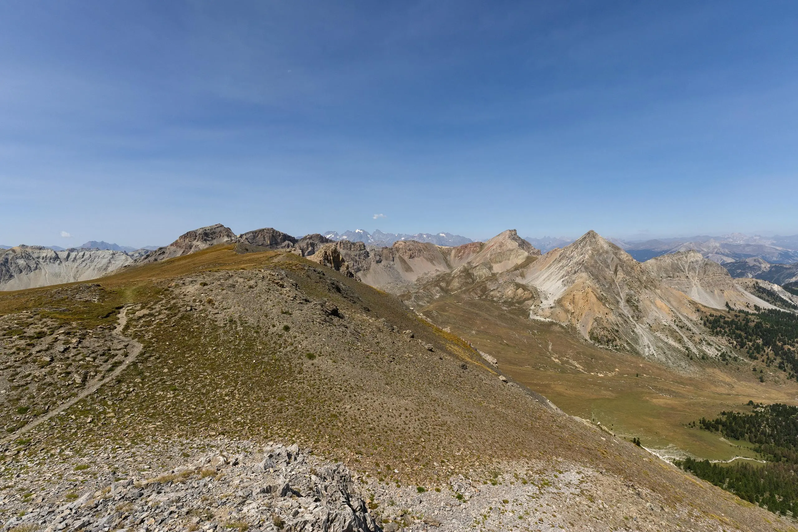
From the Col de l'Izoard parking lot, follow the signs up to Clot la Cîme. The path is easy to follow and well signposted. Allow less than 2 hours for the round trip. From the summit, you can enjoy a 360° view of the whole region!

(Description automatically translated)

Route profile

1316ft
Elevation gain
1316ft
Elevation loss
7730ft
Min altitude
8930ft
Max altitude

How to get there

Trailhead: 8815 Route Du Col D'izoard, 05100 Arvieux, France

GPS coordinates of the trailhead: 44.81945, 6.73519 / 44°49'10'' N, 6°44'6'' E

Caution: May Cross Private Property

This route may pass through or near private property. Always respect posted signs, obtain permission where required, and follow local trespassing laws. MapPlanner does not guarantee public access along any route.

Safety Notice

Trail and road conditions may change without notice due to weather, construction, or other factors. Always verify current conditions before heading out. You are responsible for your own safety — follow local signage, obey traffic laws, and use your best judgment on the trail.