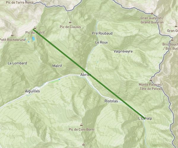
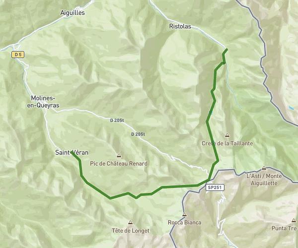
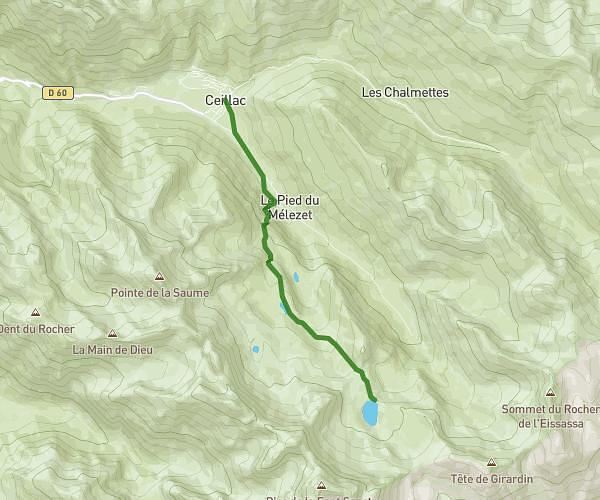
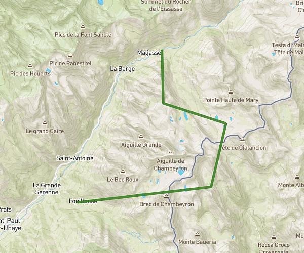
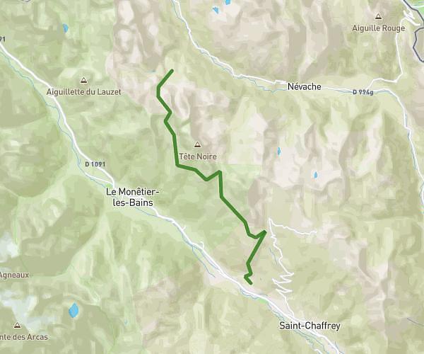
This hiking trail covers 10.148mi starting from Arvieux, Hautes-Alpes. The hike does not return to the trailhead and ends near 73 Grand Rue, 05600 Ceillac, France. This hike is rated as strenuous, plan for about 6h5m to complete it. The route has an elevation gain of 3442ft and an elevation loss of 5545ft.
refuge furfanse / bramousse
Route details
1.67mph
Speed
2833 kcal
Calories burned
16.8%
Avg grade
Point to point
Route type
3927ft
Min altitude
7464ft
Max altitude
Steep climb
Route profile
3442ft
Elevation gain
5545ft
Elevation loss
3927ft
Min altitude
7464ft
Max altitude
How to get there
Trailhead: 05350, Arvieux, Hautes-Alpes, France
GPS coordinates of the trailhead: 44.727794, 6.712442 / 44°43'40'' N, 6°42'44'' E