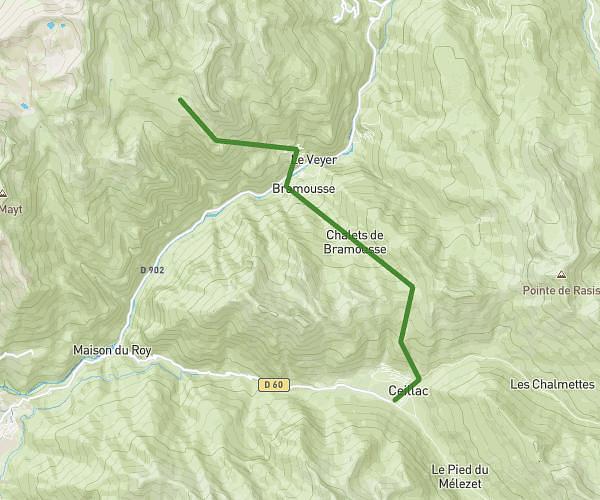
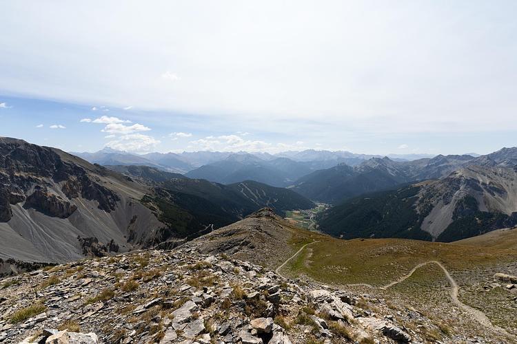
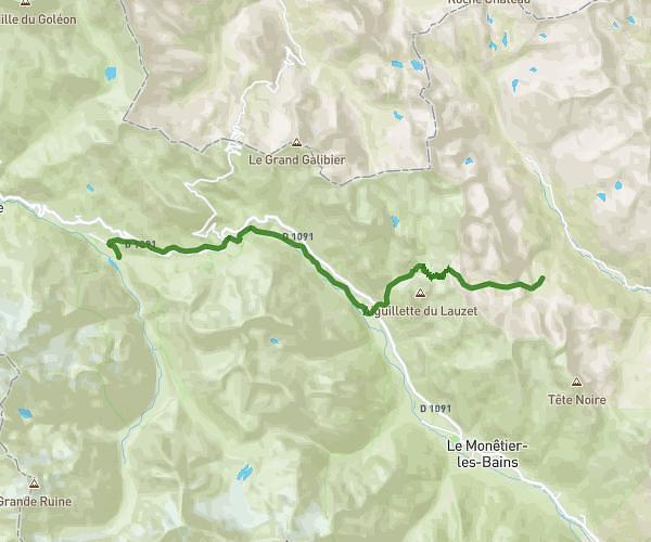
This hiking trail covers 9.67mi starting from La Salle-les-Alpes, Hautes-Alpes. The hike does not return to the trailhead and ends near 05100, Névache, Hautes-Alpes, France. This hike is rated as strenuous, plan for about 5h11m to complete it. The route has an elevation gain of 4547ft and an elevation loss of 1880ft.
La Salle les Alps --> Refuge du Chardonnet
Route details
1.86mph
Speed
2502 kcal
Calories burned
12.6%
Avg grade
Point to point
Route type
4665ft
Min altitude
8684ft
Max altitude
High altitude
Steep climb
Route profile
4547ft
Elevation gain
1880ft
Elevation loss
4665ft
Min altitude
8684ft
Max altitude
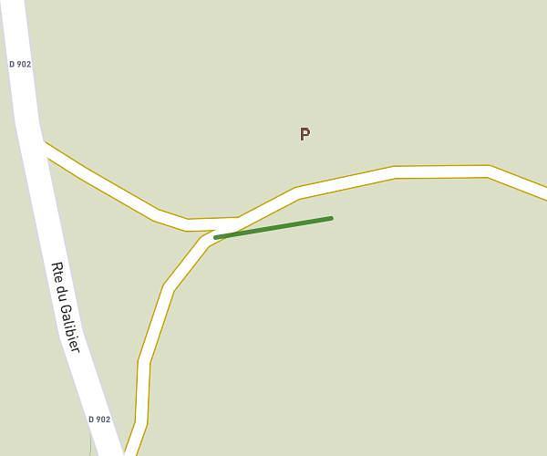
How to get there
Trailhead: 23 Chemin Terre Ariande, 05240 La Salle-les-Alpes, France
GPS coordinates of the trailhead: 44.94272, 6.57477 / 44°56'33'' N, 6°34'29'' E