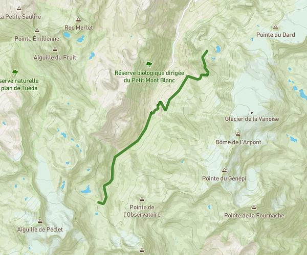
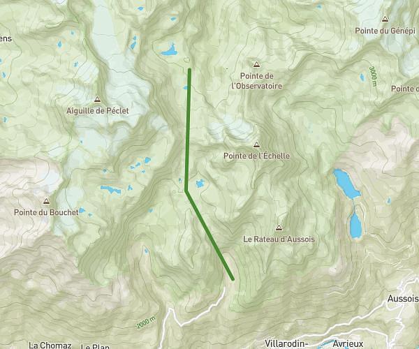
This hiking trail covers 36.768mi starting from Valloire, Savoie. The hike is a loop trail and returns to the trailhead. This hike is rated as strenuous, plan for about 8h56m to complete it. The route has an elevation gain of 14039ft and an elevation loss of 14042ft.
Tour du mont Thabor
Route details
4.11mph
Speed
4204 kcal
Calories burned
14.5%
Avg grade
Loop trail
Route type
6476ft
Min altitude
10381ft
Max altitude
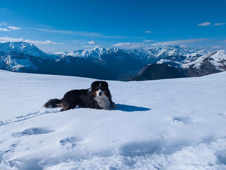
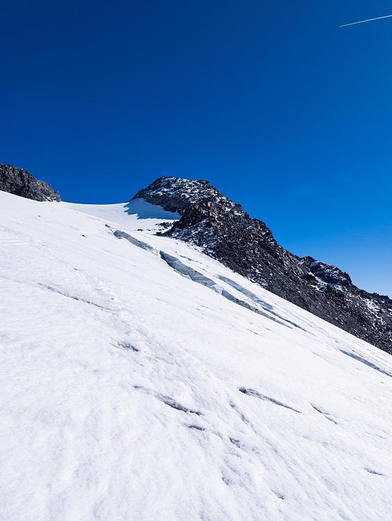
High altitude
Steep climb
Route profile
14039ft
Elevation gain
14042ft
Elevation loss
6476ft
Min altitude
10381ft
Max altitude
How to get there
Trailhead: Route Du Galibier, 73450 Valloire, France
GPS coordinates of the trailhead: 45.088383, 6.435926 / 45°5'18'' N, 6°26'9'' E