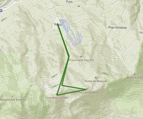
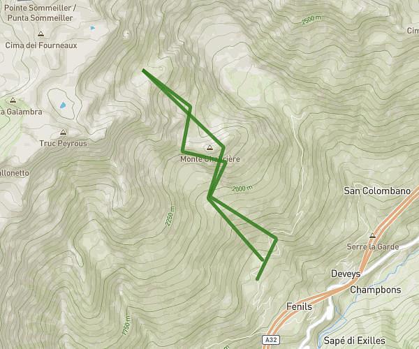
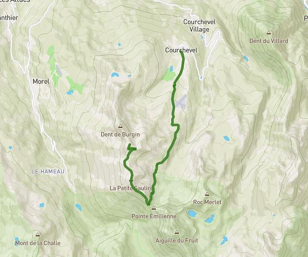
This hiking trail covers 5.208mi starting from Villarodin-Bourget, Savoie. The hike does not return to the trailhead and ends near 73710, Pralognan-la-Vanoise, Savoie, France. This hike is rated as strenuous, plan for about 3h30m to complete it. The route has an elevation gain of 2995ft and an elevation loss of 1148ft.
Orgière Peclet-Polset
Route details
1.49mph
Speed
1737 kcal
Calories burned
15.1%
Avg grade
Point to point
Route type
6257ft
Min altitude
9147ft
Max altitude
High altitude
Steep climb
Route profile
2995ft
Elevation gain
1148ft
Elevation loss
6257ft
Min altitude
9147ft
Max altitude
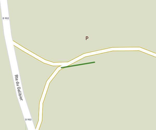
How to get there
Trailhead: D 106, 73500 Villarodin-Bourget, France
GPS coordinates of the trailhead: 45.23276, 6.675992 / 45°13'57'' N, 6°40'33'' E