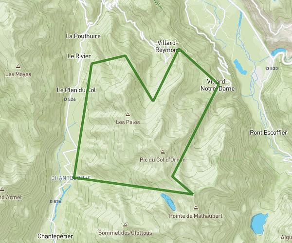
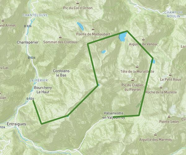
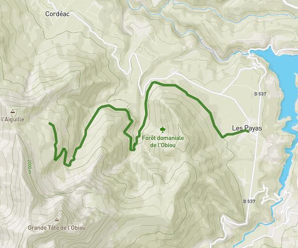
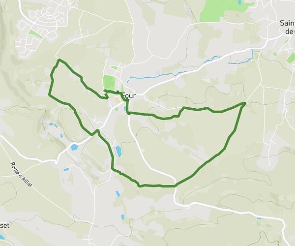
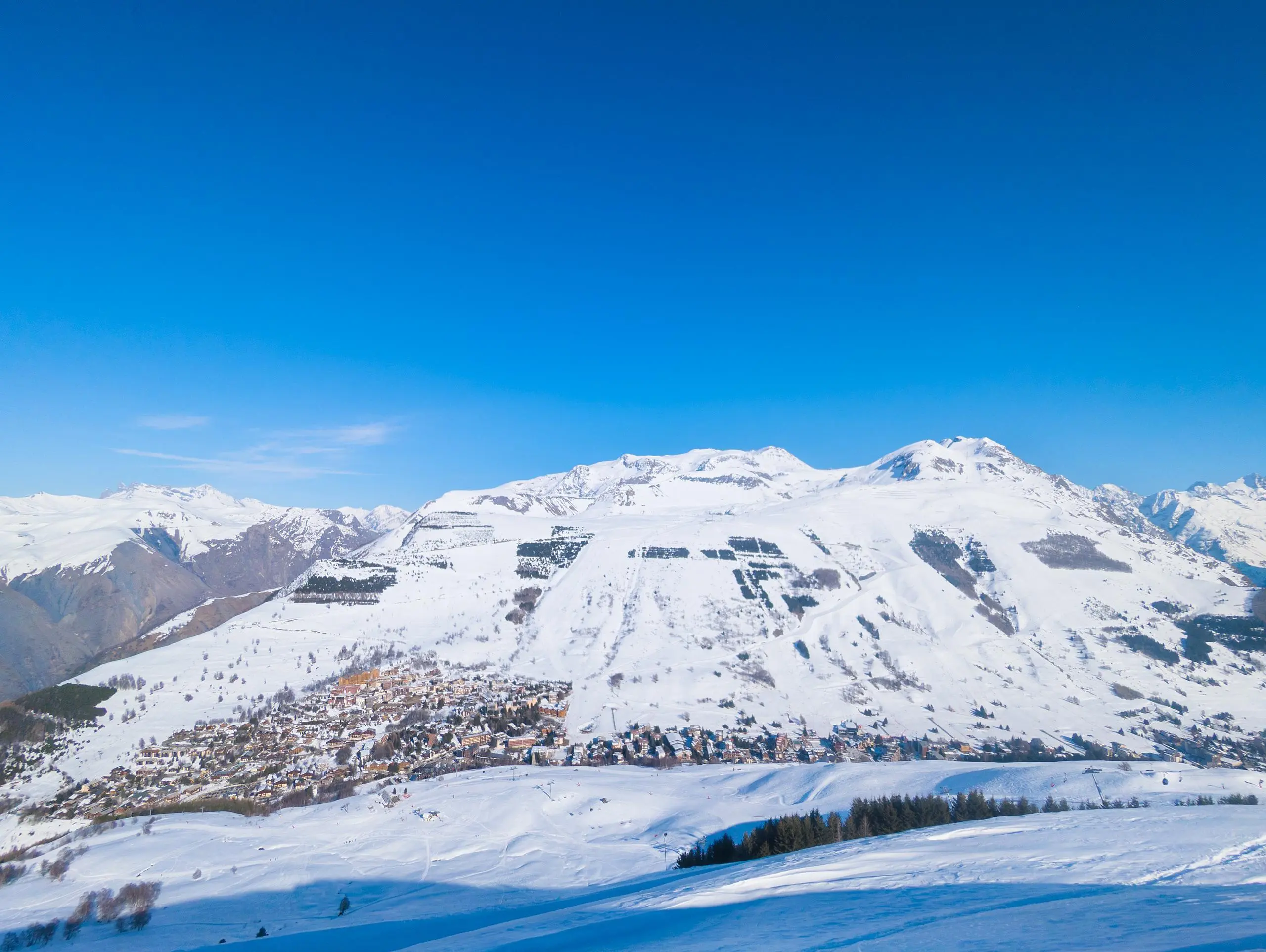
This hiking trail covers 4.189mi starting from Les Deux Alpes, Isère. The hike is a loop trail and returns to the trailhead. This hike is rated as moderate, plan for about 1h28m to complete it. The route has an elevation gain of 1640ft and an elevation loss of 1650ft.
Les 2 Alpes - Vallée Blanche
Route details
2.84mph
Speed
696 kcal
Calories burned
14.9%
Avg grade
Loop trail
Route type
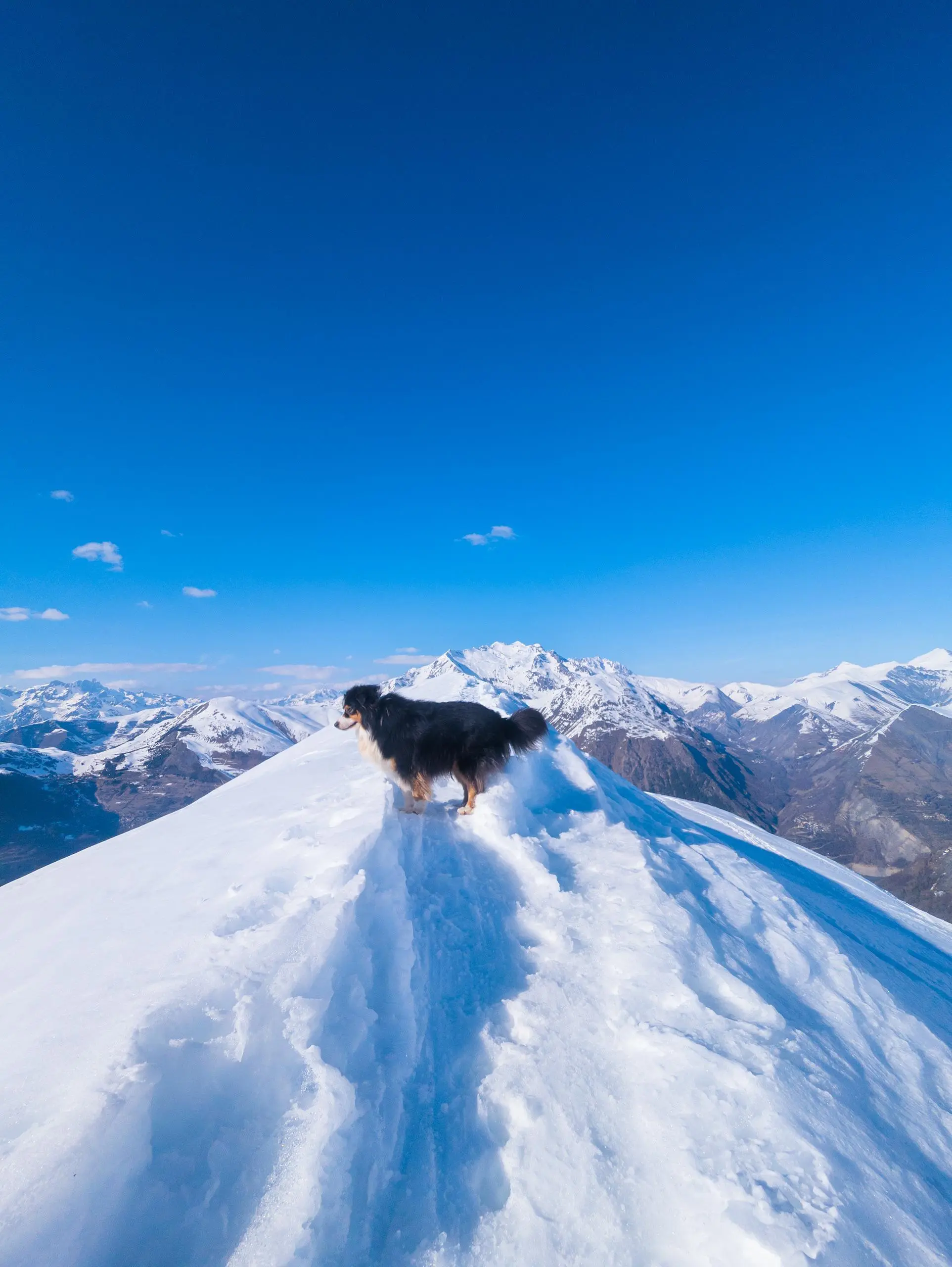
5387ft
Min altitude
6739ft
Max altitude
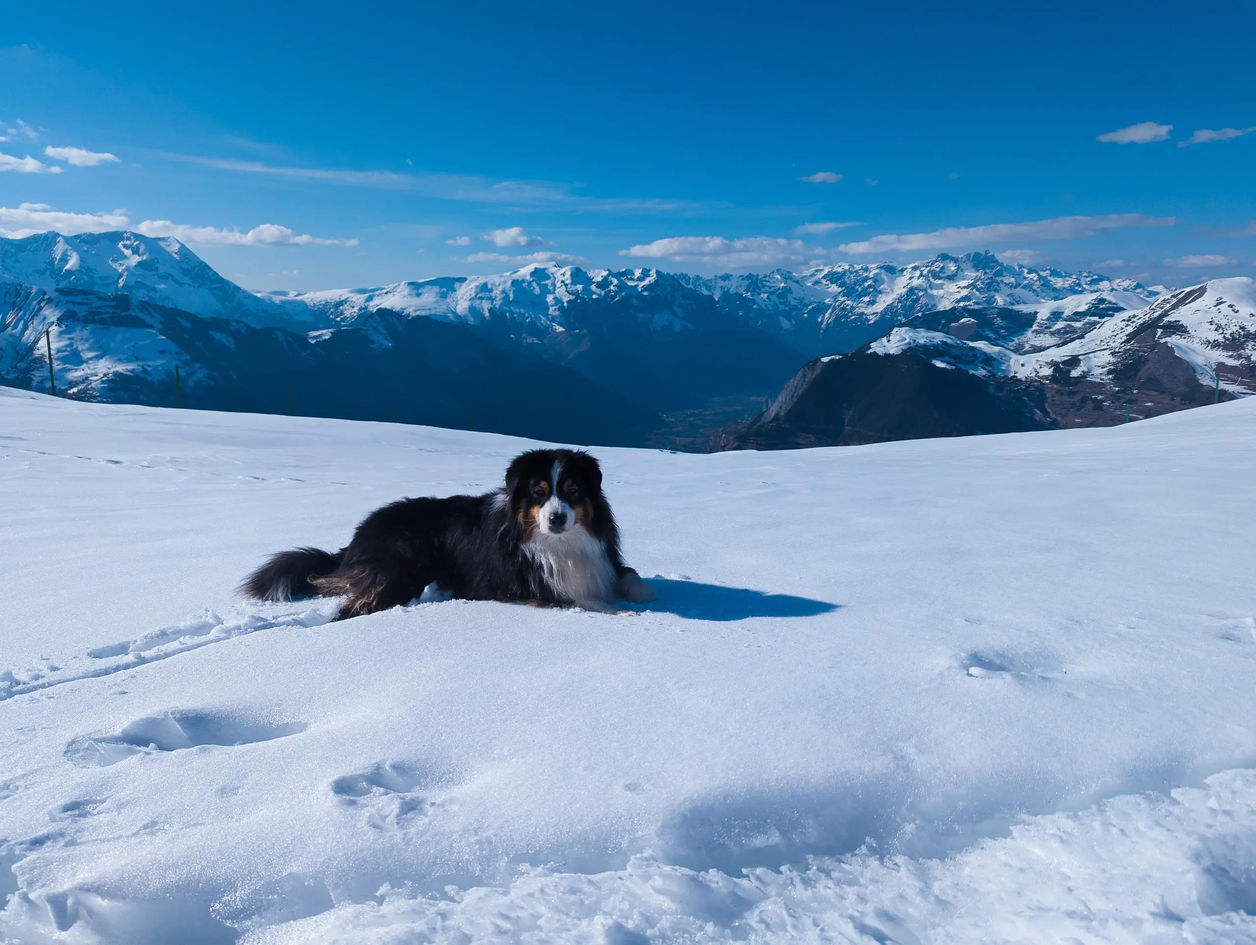
Steep climb
Route profile
1640ft
Elevation gain
1650ft
Elevation loss
5387ft
Min altitude
6739ft
Max altitude
How to get there
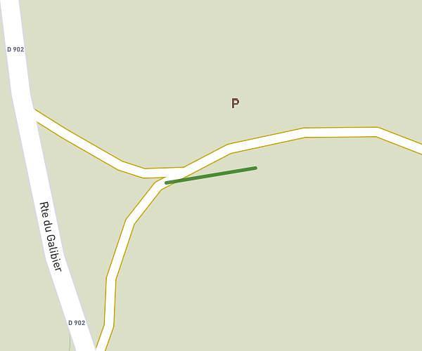
Trailhead: 20 Avenue De La Muzelle, 38860 Les Deux Alpes, France
GPS coordinates of the trailhead: 45.018408, 6.12511 / 45°1'6'' N, 6°7'30'' E