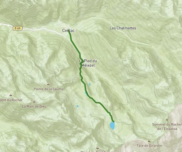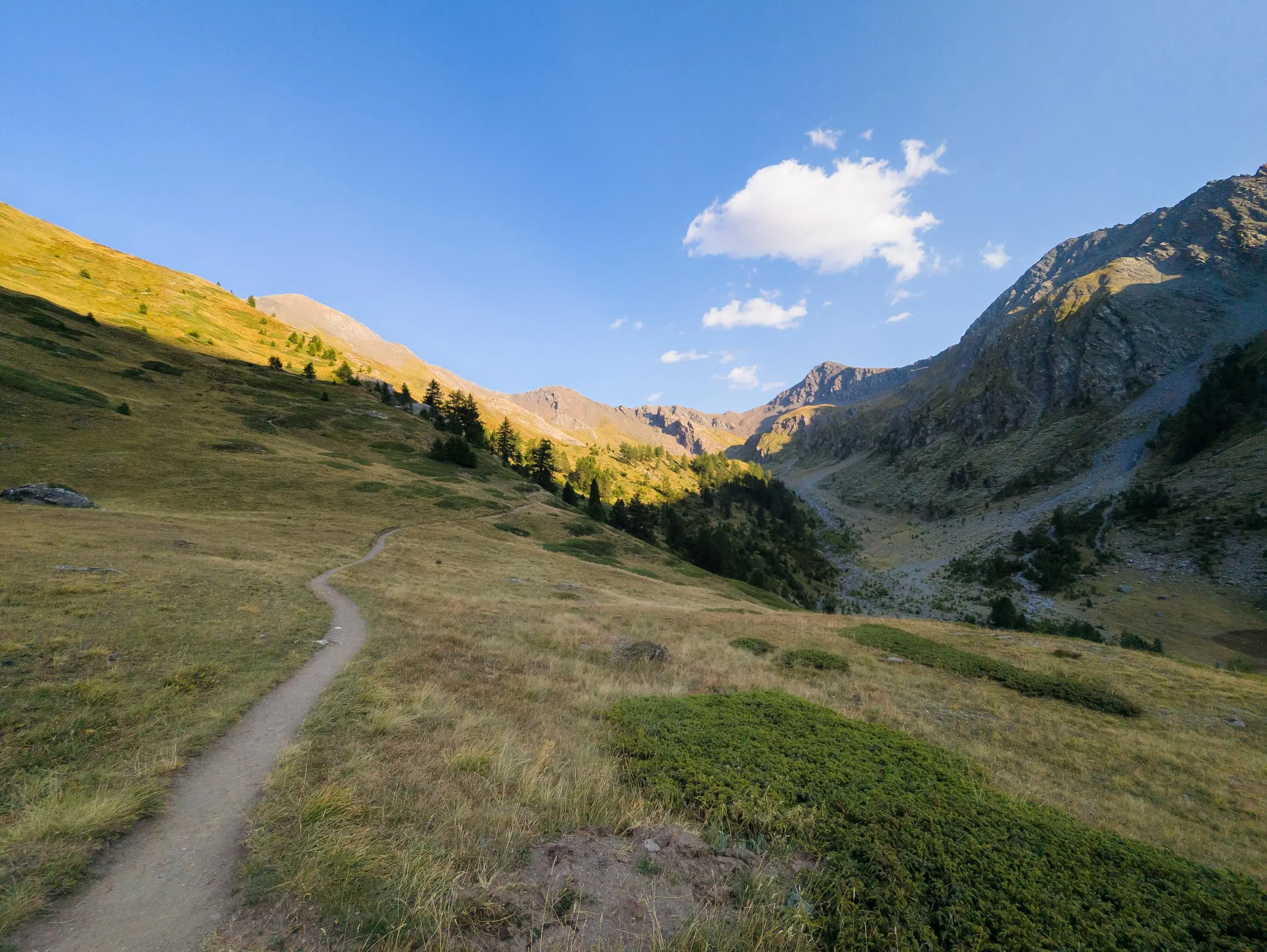
This hiking trail covers 9.522mi starting from Abriès-Ristolas, Hautes-Alpes. The hike is a loop trail and returns to the trailhead. This hike is rated as hard, plan for about 3h29m to complete it. The route has an elevation gain of 2720ft and an elevation loss of 2723ft.
Description of the route by the creator
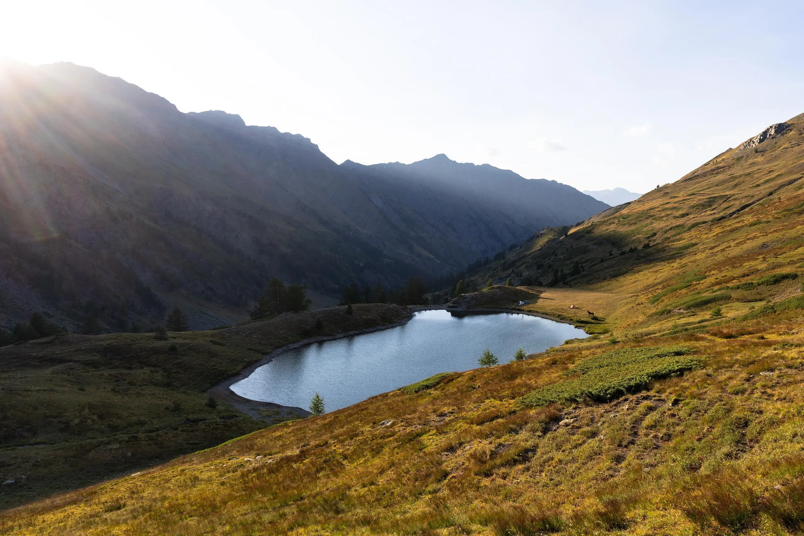
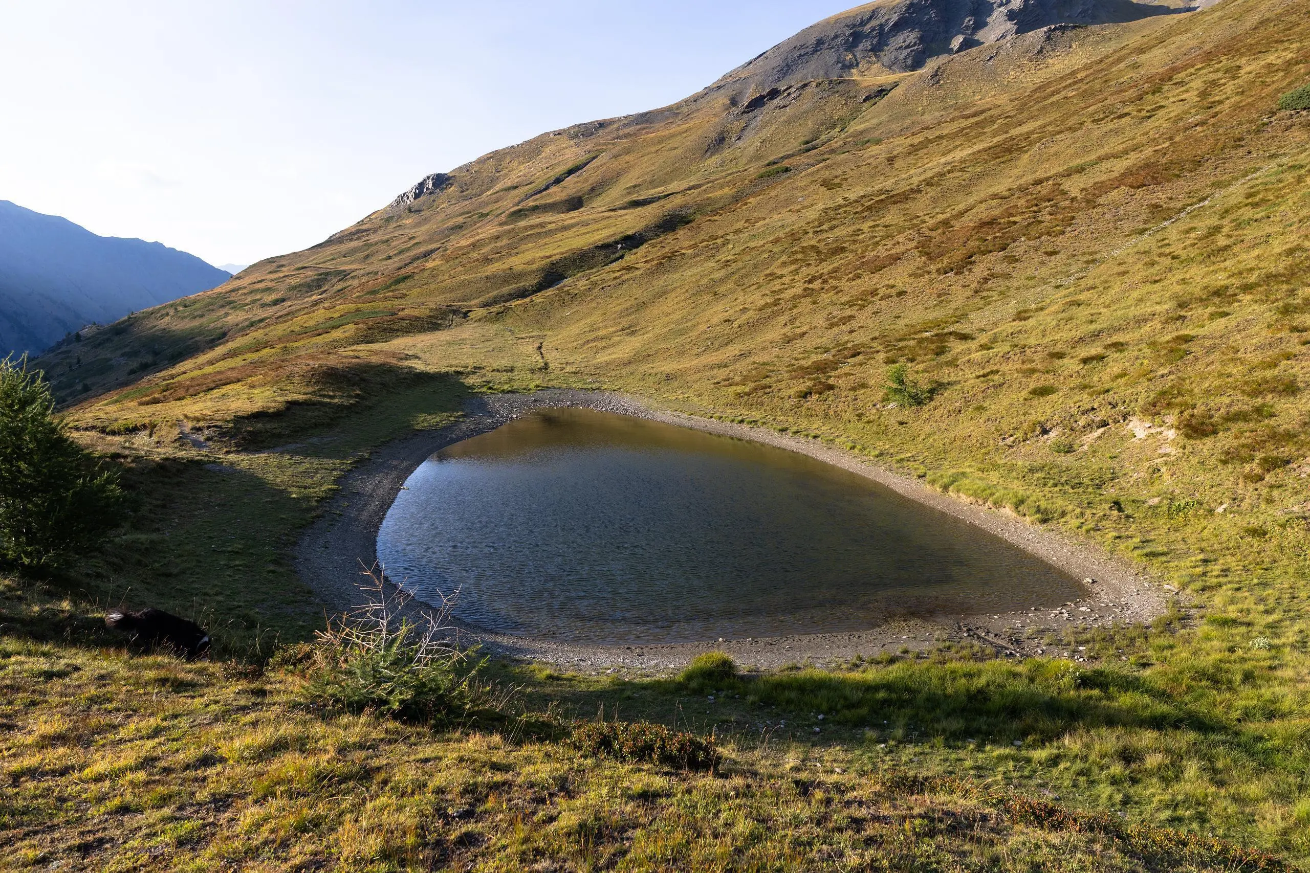
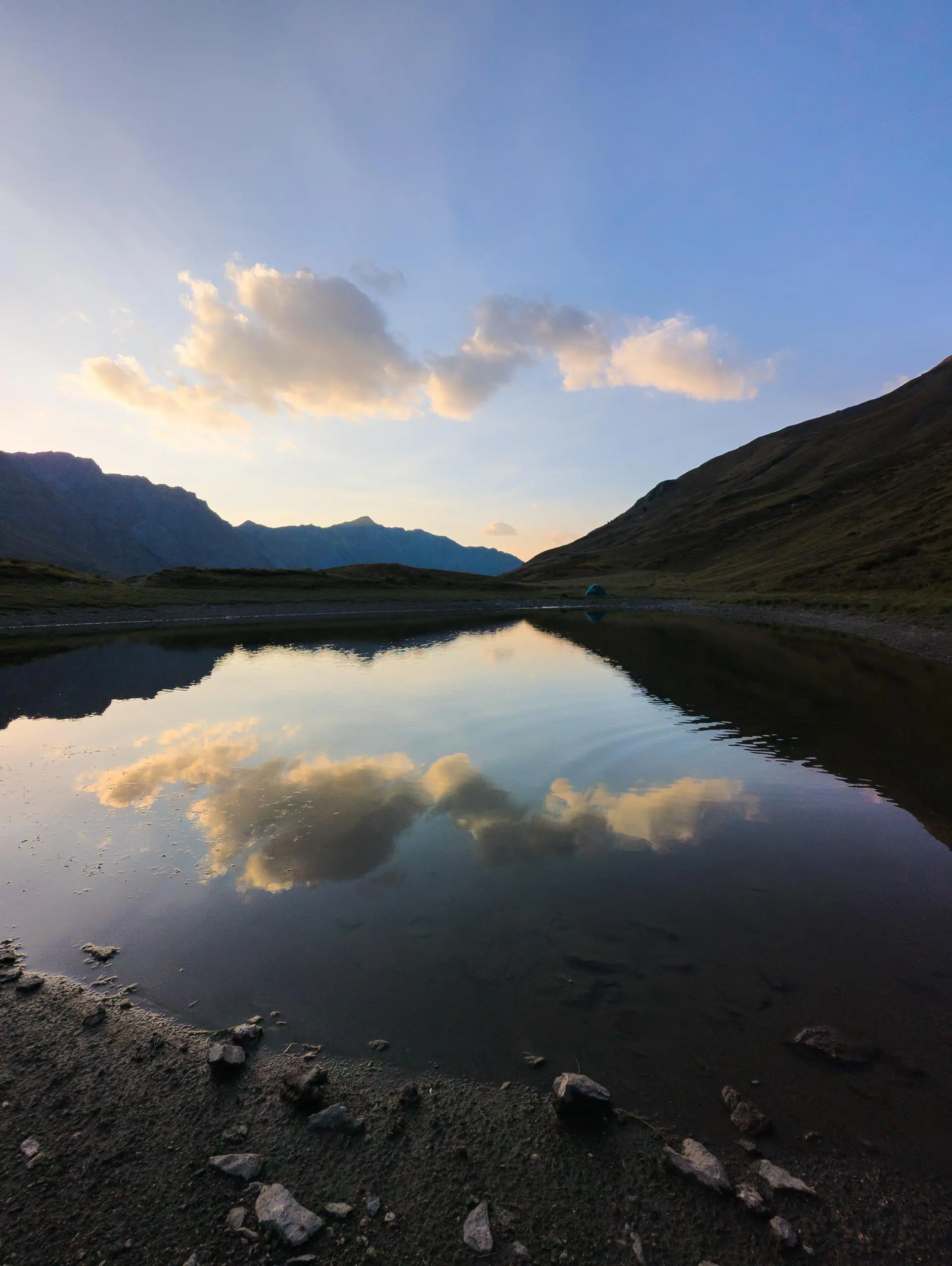
Park in the Ristolas village parking lot. Climb to the top of the village to reach the wide path leading to the lakes. Shortly before reaching the lakes, take the path to the right (well signposted) to reach the 2 lakes.