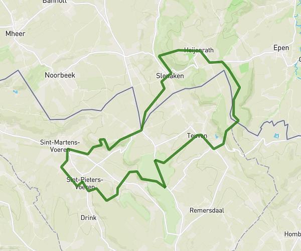
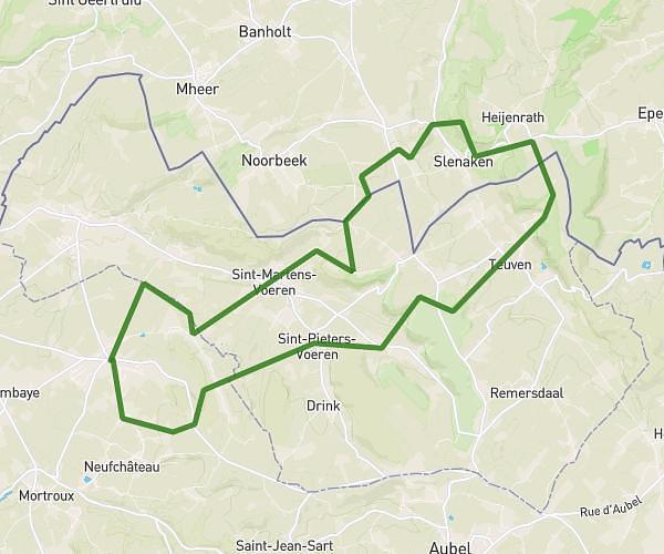
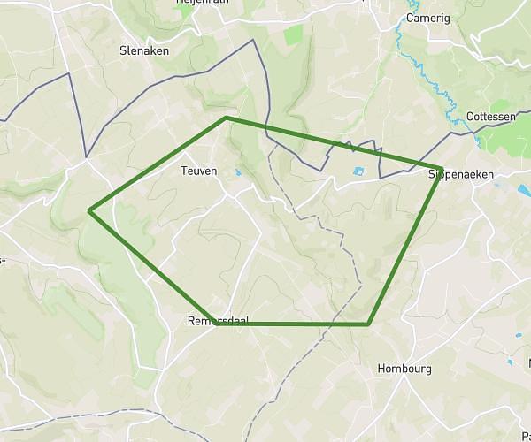
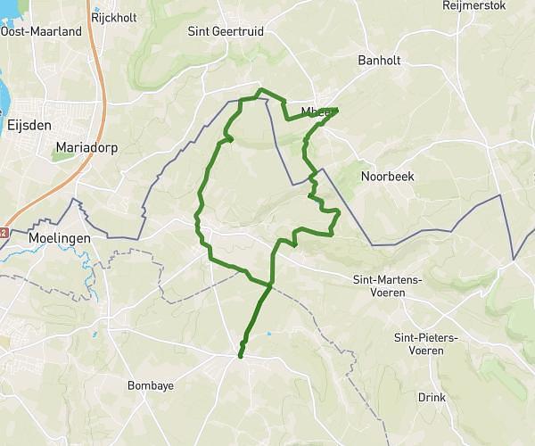
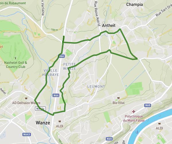
This running route covers 3.311mi starting from Jalhay, Liege. The run is a loop trail and returns to the trailhead. This run is rated as easy, expect about 32m to complete it. The route has an elevation gain of 364ft and an elevation loss of 364ft.
David goggins
Route details
6.21mph
Speed
366 kcal
Calories burned
Loop trail
Route type
1030ft
Min altitude
1230ft
Max altitude
Route profile
364ft
Elevation gain
364ft
Elevation loss
1030ft
Min altitude
1230ft
Max altitude
How to get there
Trailhead: Thier Du Vivier 85, 4845 Jalhay, Liege, Belgium
GPS coordinates of the trailhead: 50.51665, 5.93511 / 50°30'59'' N, 5°56'6'' E