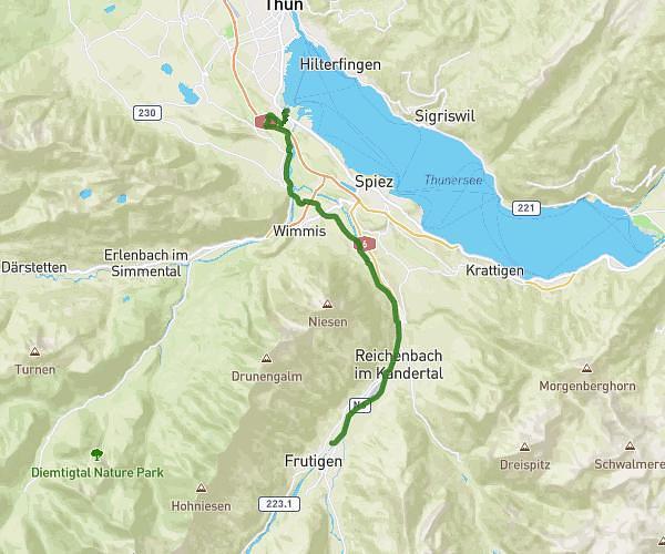
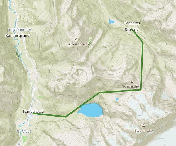
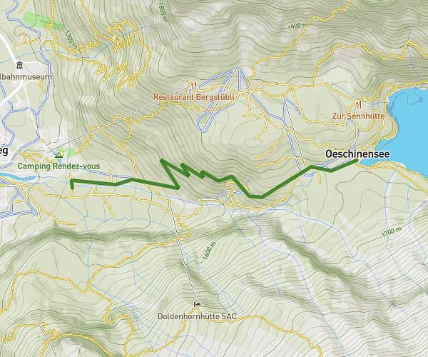
This running route covers 13.268mi starting from Kiental, Bern. The run does not return to the trailhead and ends near Birrmättli 89a, 3822 Lauterbrunnen, Switzerland. This run is rated as strenuous, expect about 5h20m to complete it. The route has an elevation gain of 3468ft and an elevation loss of 3780ft.
Griesalp - Lauterbrunnen
Route details
2.49mph
Speed
3662 kcal
Calories burned
Point to point
Route type
3799ft
Min altitude
7579ft
Max altitude
Route profile
3468ft
Elevation gain
3780ft
Elevation loss
3799ft
Min altitude
7579ft
Max altitude
How to get there
Trailhead: Griesalp 2, 3723 Kiental, Switzerland
GPS coordinates of the trailhead: 46.54802, 7.76261 / 46°32'52'' N, 7°45'45'' E