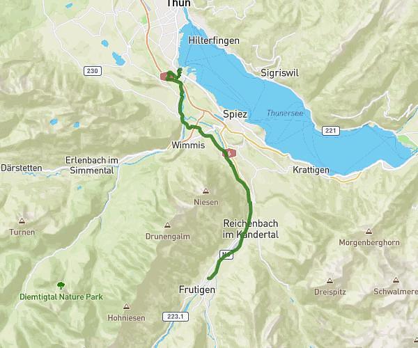
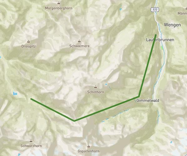
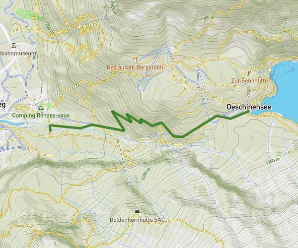
This running route covers 10.486mi starting from Kandersteg, Bern. The run does not return to the trailhead and ends near Griesalp 2b, 3723 Kiental, Switzerland. This run is rated as hard, expect about 4h to complete it. The route has an elevation gain of 4058ft and an elevation loss of 3586ft.
Kandersteg - griesalp
Route details
2.62mph
Speed
2744 kcal
Calories burned
Point to point
Route type
3855ft
Min altitude
7913ft
Max altitude
Route profile
4058ft
Elevation gain
3586ft
Elevation loss
3855ft
Min altitude
7913ft
Max altitude
How to get there
Trailhead: Bundesrat Adolf Ogi-Strasse 14, 3718 Kandersteg, Switzerland
GPS coordinates of the trailhead: 46.49644, 7.67536 / 46°29'47'' N, 7°40'31'' E