MapPlanner
2.907mi
Distance
18m
Duration
9.69mph
Speed
+249ft
Elevation gain
-249ft
Elevation loss
Easy
Level

Centre Avril2026 Jeudi Petite Boucle

Route details

161 kcal
Calories burned
3.2%
Avg grade
Loop trail
Route type
89ft
Min altitude
236ft
Max altitude

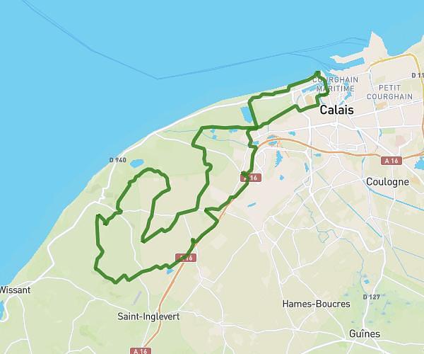
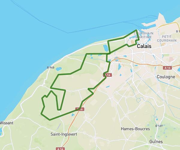
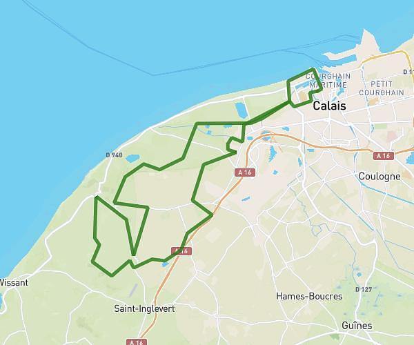
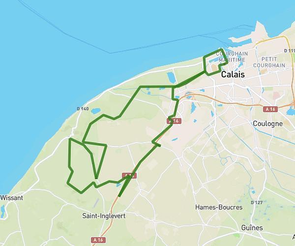
This cycling route covers 2.907mi starting from Rety, Pas-de-Calais. The ride is a loop trail and returns to the trailhead. This route is rated as easy, plan for about 18m to complete it. The route has an elevation gain of 249ft and an elevation loss of 249ft.

Description of the route by the creator

Course approx. 4.5km. Very short course. Beware, I think the passage through the forest should be steep (uphill) for children and watch out for the mud.

(Description automatically translated)

Route profile

249ft
Elevation gain
249ft
Elevation loss
89ft
Min altitude
236ft
Max altitude

How to get there

Trailhead: 4d Rue Jules Ferry, 62720 Rety, France

GPS coordinates of the trailhead: 50.798207, 1.775709 / 50°47'53'' N, 1°46'32'' E

Caution: May Cross Private Property

This route may pass through or near private property. Always respect posted signs, obtain permission where required, and follow local trespassing laws. MapPlanner does not guarantee public access along any route.

Safety Notice

Trail and road conditions may change without notice due to weather, construction, or other factors. Always verify current conditions before heading out. You are responsible for your own safety — follow local signage, obey traffic laws, and use your best judgment on the trail.