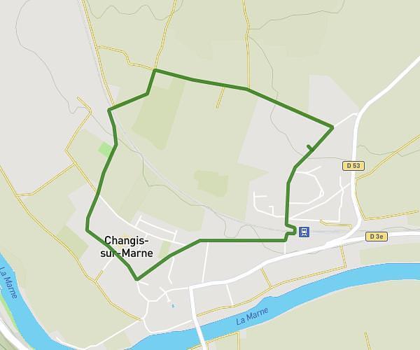
This walking route covers 4.866mi starting from Mouroux, Seine-et-Marne. The walk is a loop trail and returns to the trailhead. This walk is rated as moderate, plan for about 1h48m to complete it. The route has an elevation gain of 397ft and an elevation loss of 400ft.
Parcours Mouroux
Route details
22:12/mi
Pace
441 kcal
Calories burned
Loop trail
Route type
203ft
Min altitude
453ft
Max altitude
Route profile
397ft
Elevation gain
400ft
Elevation loss
203ft
Min altitude
453ft
Max altitude
How to get there
Trailhead: 3b Rue Cornu, 77120 Mouroux, France
GPS coordinates of the trailhead: 48.82133, 3.03931 / 48°49'16'' N, 3°2'21'' E