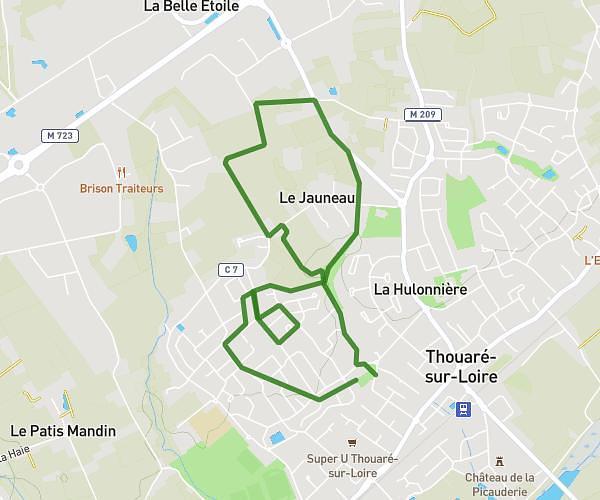
This hiking trail covers 1.529mi starting from Orée d'Anjou, Maine-et-Loire. The hike is a loop trail and returns to the trailhead. This hike is rated as easy, plan for about 55m to complete it. The route has an elevation gain of 223ft and an elevation loss of 226ft.
Séance 3 CM et CE
Route details
1.67mph
Speed
403 kcal
Calories burned
5.6%
Avg grade
Loop trail
Route type
20ft
Min altitude
213ft
Max altitude
Route profile
223ft
Elevation gain
226ft
Elevation loss
20ft
Min altitude
213ft
Max altitude
How to get there
Trailhead: 12 Rue Jean Moreau, 49270 Orée d'Anjou, France
GPS coordinates of the trailhead: 47.311663, -1.320028 / 47°18'41'' N, 1°19'12'' W