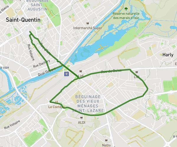
This cycling route covers 4.712mi starting from Morcourt, Aisne. The ride is a loop trail and returns to the trailhead. This route is rated as easy, plan for about 28m to complete it. The route has an elevation gain of 89ft and an elevation loss of 79ft.
Velo morcourt 30
Route details
246 kcal
Calories burned
0.7%
Avg grade
Loop trail
Route type
256ft
Min altitude
322ft
Max altitude
Route profile
89ft
Elevation gain
79ft
Elevation loss
256ft
Min altitude
322ft
Max altitude
How to get there
Trailhead: 2 Rue Du Commandant Guy, 02100 Morcourt, France
GPS coordinates of the trailhead: 49.87556, 3.3231 / 49°52'32'' N, 3°19'23'' E