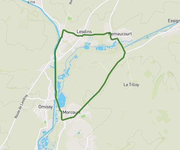
This cycling route covers 4.173mi starting from Saint-Quentin, Aisne. The ride is a loop trail and returns to the trailhead. This route is rated as easy, plan for about 25m to complete it. The route has an elevation gain of 259ft and an elevation loss of 262ft.
velorution 25 mai 2024
Route details
222 kcal
Calories burned
2.4%
Avg grade
Loop trail
Route type
240ft
Min altitude
354ft
Max altitude
Route profile
259ft
Elevation gain
262ft
Elevation loss
240ft
Min altitude
354ft
Max altitude
How to get there
Trailhead: 9 Place De L'hôtel De Ville, 02100 Saint-Quentin, France
GPS coordinates of the trailhead: 49.84638, 3.28844 / 49°50'46'' N, 3°17'18'' E