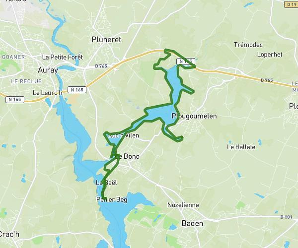
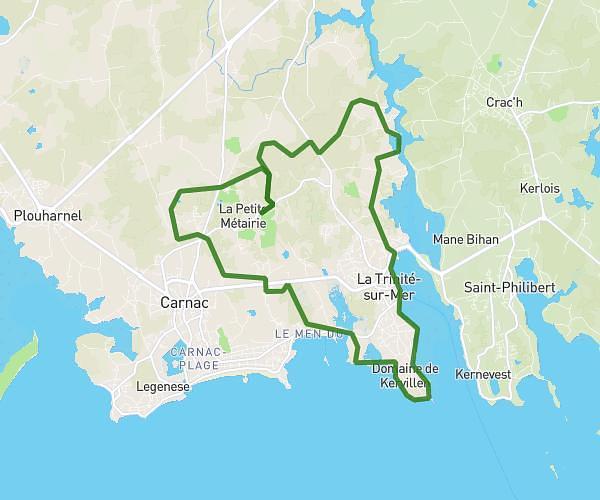
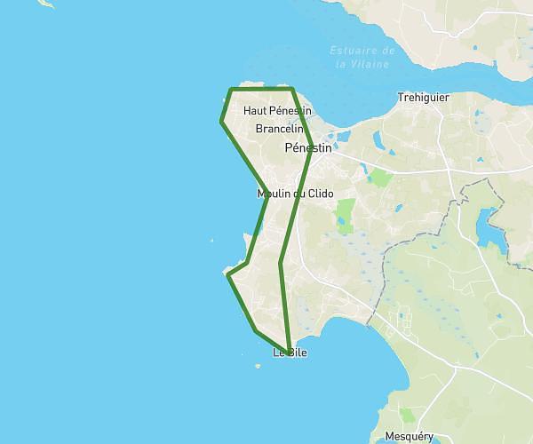
This running route covers 7.41mi starting from Vannes, Morbihan. The run does not return to the trailhead and ends near 6 Rue De Sainte-Anne, 56000 Vannes, France. This run is rated as moderate, expect about 1h11m to complete it. The route has an elevation gain of 289ft and an elevation loss of 272ft.
vannes
Route details
6.21mph
Speed
818 kcal
Calories burned
Point to point
Route type
-10ft
Min altitude
98ft
Max altitude
Route profile
289ft
Elevation gain
272ft
Elevation loss
-10ft
Min altitude
98ft
Max altitude
How to get there
Trailhead: 15 Rue Georges Clemenceau, 56000 Vannes, France
GPS coordinates of the trailhead: 47.660844, -2.774415 / 47°39'39'' N, 2°46'27'' W