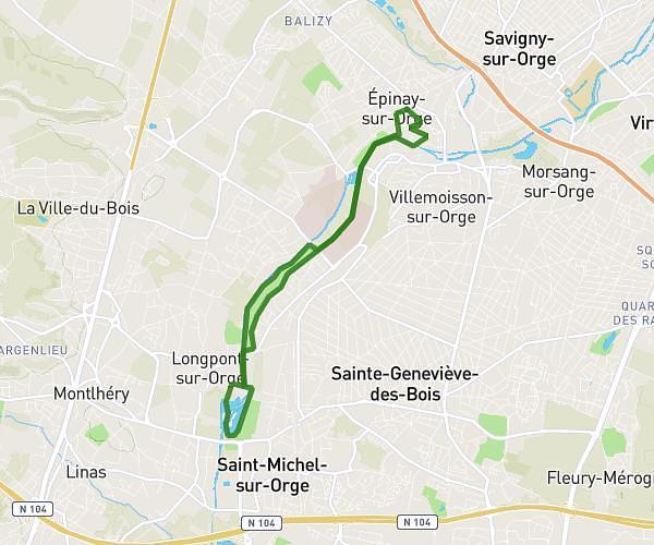
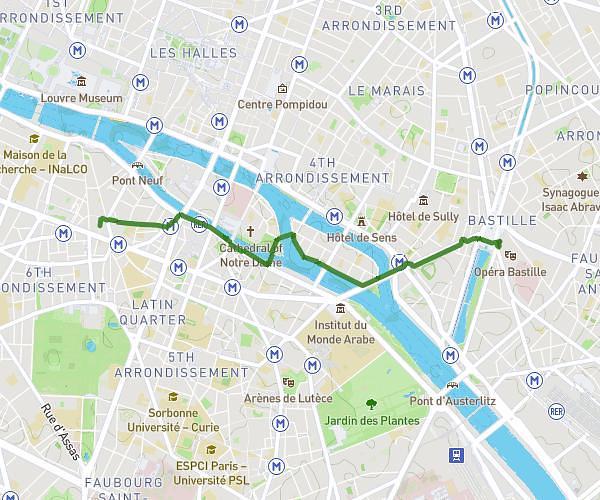
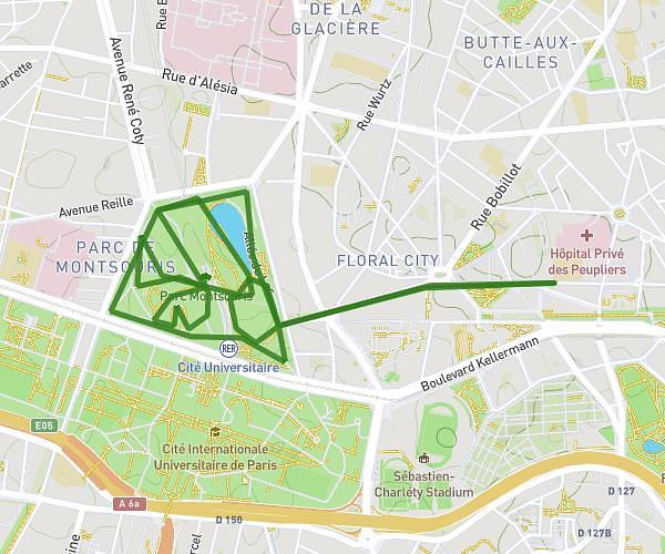
This walking route covers 2.763mi starting from Île-de-France, Paris. The walk does not return to the trailhead and ends near 48b Rue Raynouard, 75016 Paris, France. This walk is rated as easy, plan for about 59m1s to complete it. The route has an elevation gain of 433ft and an elevation loss of 361ft.
dimanche 18 janvier
Route details
21:22/mi
Pace
241 kcal
Calories burned
Point to point
Route type
102ft
Min altitude
223ft
Max altitude
Route profile
433ft
Elevation gain
361ft
Elevation loss
102ft
Min altitude
223ft
Max altitude
How to get there
Trailhead: 1 Place Étienne Pernet, 75015 Paris, France
GPS coordinates of the trailhead: 48.843486, 2.293325 / 48°50'36'' N, 2°17'35'' E