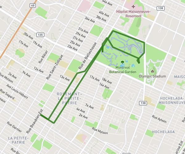
This running route covers 11.803mi starting from Montréal, Quebec. The run is a loop trail and returns to the trailhead. This run is rated as strenuous, expect about 1h45m to complete it. The route has an elevation gain of 30ft and an elevation loss of 33ft.
Jean drapeau sortie longue
Route details
6.74mph
Speed
1201 kcal
Calories burned
Loop trail
Route type
33ft
Min altitude
66ft
Max altitude
Route profile
30ft
Elevation gain
33ft
Elevation loss
33ft
Min altitude
66ft
Max altitude
How to get there
Trailhead: Rue Darling, H1W 2W8 Montréal
GPS coordinates of the trailhead: 45.54273, -73.54775 / 45°32'33'' N, 73°32'51'' W