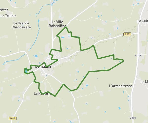
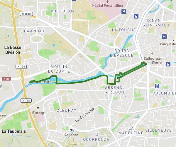
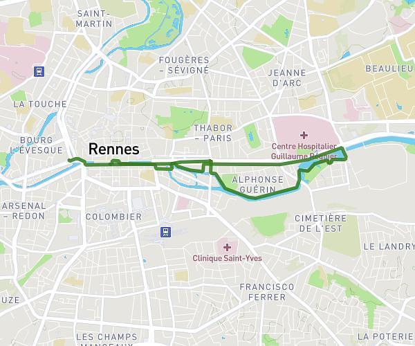
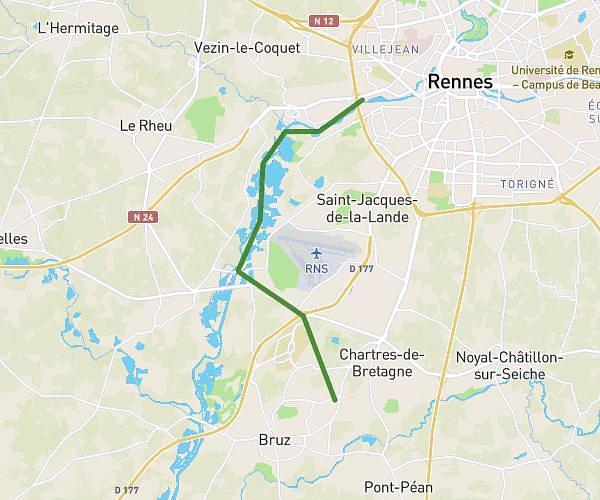
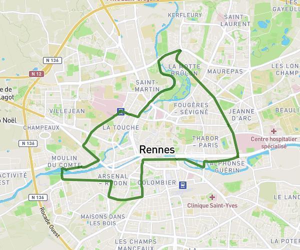
This running route covers 9.147mi starting from Acigné, Ille-et-Vilaine. The run does not return to the trailhead and ends near 40 Avenue Du Chevré, 35690 Acigné, France. This run is rated as hard, expect about 1h to complete it. The route has an elevation gain of 72ft and an elevation loss of 79ft.
caca
Route details
9.15mph
Speed
686 kcal
Calories burned
Point to point
Route type
128ft
Min altitude
207ft
Max altitude
Route profile
72ft
Elevation gain
79ft
Elevation loss
128ft
Min altitude
207ft
Max altitude
How to get there
Trailhead: 2 La Lande Bazin, 35690 Acigné, France
GPS coordinates of the trailhead: 48.13117, -1.55774 / 48°7'52'' N, 1°33'27'' W