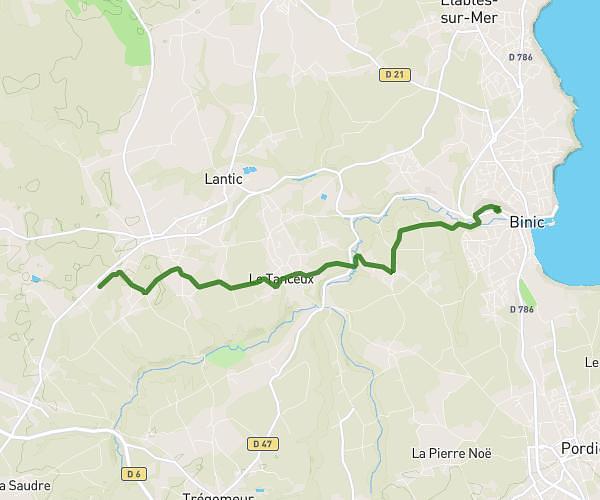
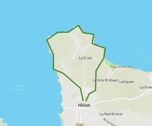
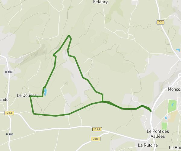
This running route covers 4.136mi starting from La Bouillie, Côtes-d'Armor. The run is a loop trail and returns to the trailhead. This run is rated as easy, expect about 6h40m to complete it. The route has an elevation gain of 180ft and an elevation loss of 180ft.
6.6
Route details
0.62mph
Speed
4573 kcal
Calories burned
Loop trail
Route type
213ft
Min altitude
315ft
Max altitude
Route profile
180ft
Elevation gain
180ft
Elevation loss
213ft
Min altitude
315ft
Max altitude
How to get there
Trailhead: 2 La Haie, 22240 La Bouillie, France
GPS coordinates of the trailhead: 48.56915, -2.45538 / 48°34'8'' N, 2°27'19'' W