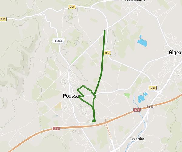
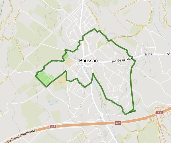
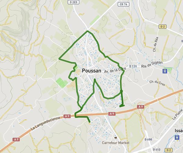
This running route covers 4.485mi starting from Montbazin, Hérault. The run is a loop trail and returns to the trailhead. This run is rated as easy, expect about 48m7s to complete it. The route has an elevation gain of 331ft and an elevation loss of 328ft.
Mtbz-Gigean
Route details
5.59mph
Speed
550 kcal
Calories burned
Loop trail
Route type
79ft
Min altitude
177ft
Max altitude
Route profile
331ft
Elevation gain
328ft
Elevation loss
79ft
Min altitude
177ft
Max altitude
How to get there
Trailhead: 13 Cami Du Cigalou, 34560 Montbazin, France
GPS coordinates of the trailhead: 43.518481, 3.700542 / 43°31'6'' N, 3°42'1'' E