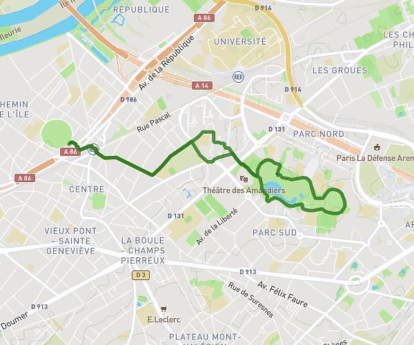
This running route covers 7.42mi starting from Île-de-France, Paris. The run does not return to the trailhead and ends near 28b Place De La Nation, 75012 Paris, France. This run is rated as moderate, expect about 1h10m to complete it. The route has an elevation gain of 52ft and an elevation loss of 56ft.
Métro 2
Route details
6.36mph
Speed
800 kcal
Calories burned
Point to point
Route type
177ft
Min altitude
223ft
Max altitude
Route profile
52ft
Elevation gain
56ft
Elevation loss
177ft
Min altitude
223ft
Max altitude
How to get there
Trailhead: Avenue Hubert Germain, 75016 Paris, France
GPS coordinates of the trailhead: 48.87122, 2.27827 / 48°52'16'' N, 2°16'41'' E