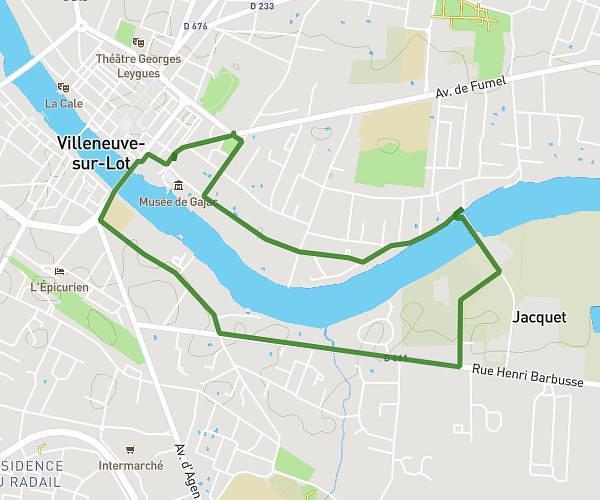
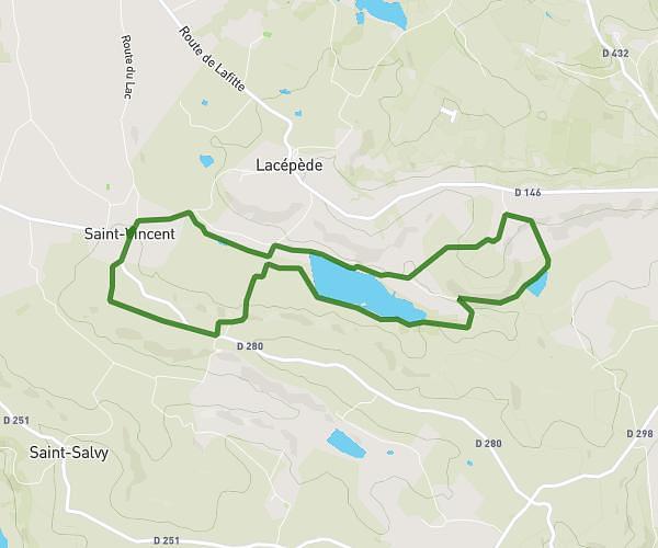
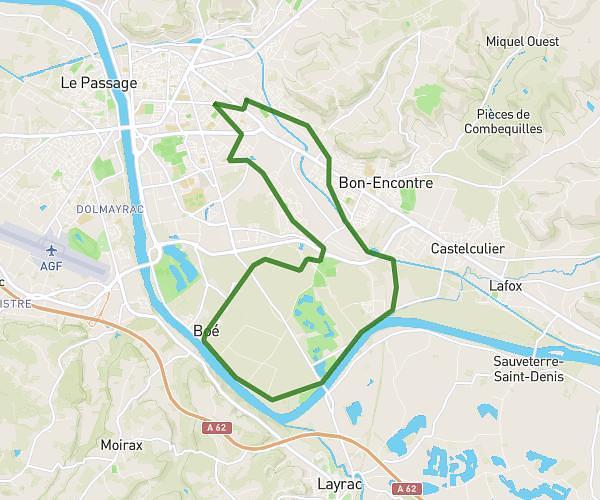
This running route covers 5.228mi starting from Saint-Hilaire-de-Lusignan, Lot-et-Garonne. The run is a loop trail and returns to the trailhead. This run is rated as moderate, expect about 50m to complete it. The route has an elevation gain of 413ft and an elevation loss of 413ft.
8km
Route details
6.28mph
Speed
572 kcal
Calories burned
Loop trail
Route type
115ft
Min altitude
440ft
Max altitude
Route profile
413ft
Elevation gain
413ft
Elevation loss
115ft
Min altitude
440ft
Max altitude
How to get there
Trailhead: Route Du Brétou, 47450 Saint-Hilaire-de-Lusignan
GPS coordinates of the trailhead: 44.23338, 0.50983 / 44°14'0'' N, 0°30'35'' E