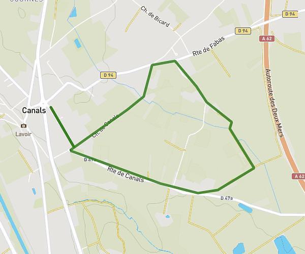
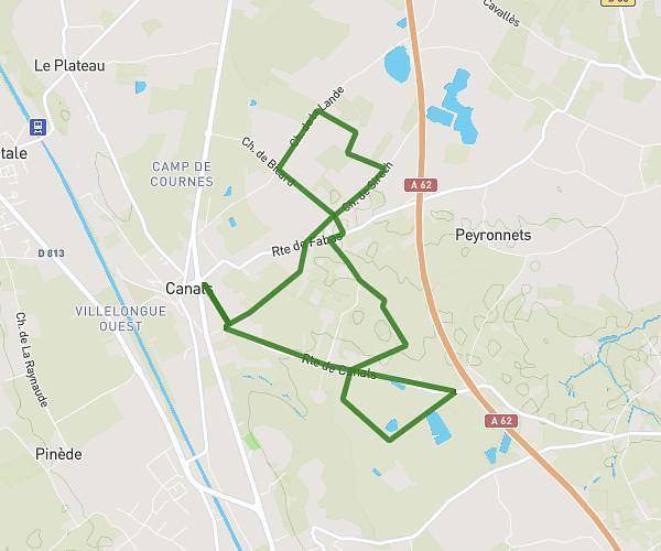
This hiking trail covers 1.286mi starting from Beauzelle, Haute-Garonne. The hike is a loop trail and returns to the trailhead. This hike is rated as easy, plan for about 29m to complete it. The route has an elevation gain of 151ft and an elevation loss of 154ft.
ramiers
Route details
2.66mph
Speed
211 kcal
Calories burned
4.5%
Avg grade
Loop trail
Route type
404ft
Min altitude
443ft
Max altitude
Route profile
151ft
Elevation gain
154ft
Elevation loss
404ft
Min altitude
443ft
Max altitude
How to get there
Trailhead: 12 Rue De Latché, 31700 Beauzelle, France
GPS coordinates of the trailhead: 43.66626, 1.38434 / 43°39'58'' N, 1°23'3'' E