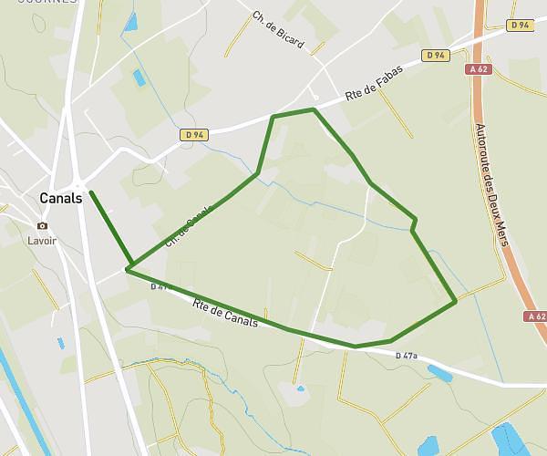
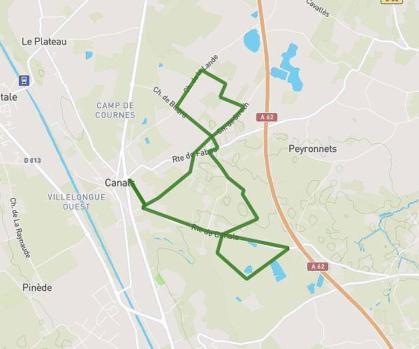
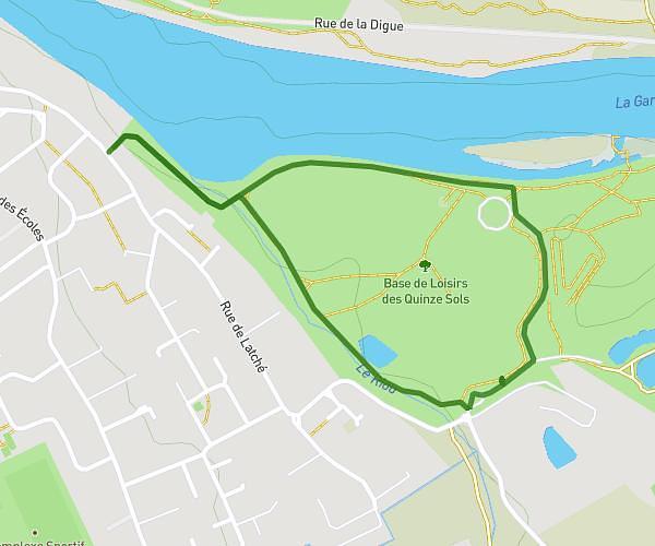
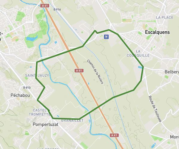
This hiking trail covers 4.595mi starting from Garidech, Haute-Garonne. The hike is a loop trail and returns to the trailhead. This hike is rated as moderate, plan for about 1h3m to complete it. The route has an elevation gain of 469ft and an elevation loss of 472ft.
Aurore J 8
Route details
4.35mph
Speed
458 kcal
Calories burned
3.9%
Avg grade
Loop trail
Route type
489ft
Min altitude
771ft
Max altitude
Route profile
469ft
Elevation gain
472ft
Elevation loss
489ft
Min altitude
771ft
Max altitude
How to get there
Trailhead: 7 Rue Des Côteaux, 31380 Garidech, France
GPS coordinates of the trailhead: 43.71143, 1.561821 / 43°42'41'' N, 1°33'42'' E