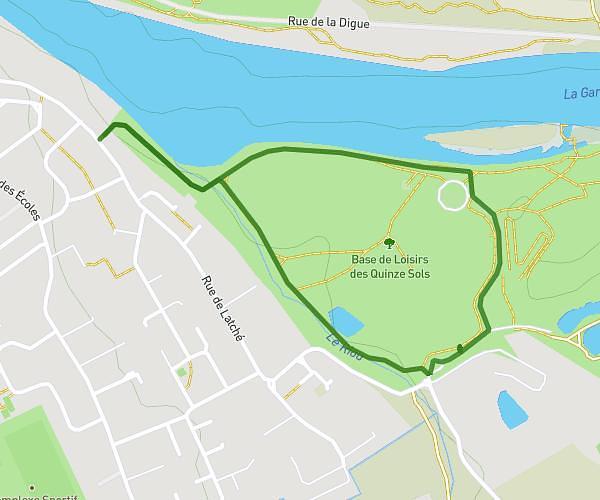
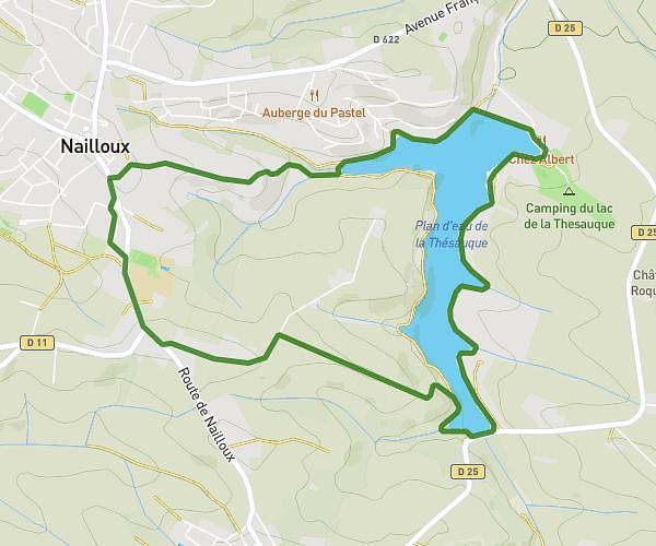
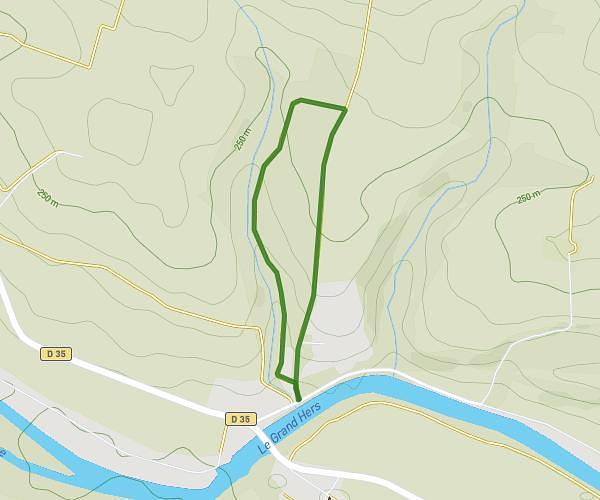
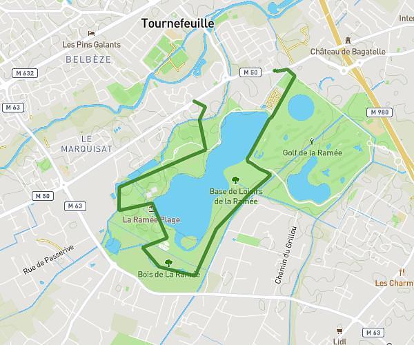
Explore this hiking route of 6,772mi starting from Pompertuzat, Haute-Garonne. The hike is a loop and returns to the starting point. This hike is rated as easy, plan for about 2m to complete it. The route has a positive elevation gain of 285ft and a negative elevation loss of 282ft.
Description of the route by the creator
Pompertuzat circuit: Vic lock, Décathlon Castanet, Super U Belberaud.


