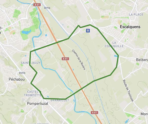
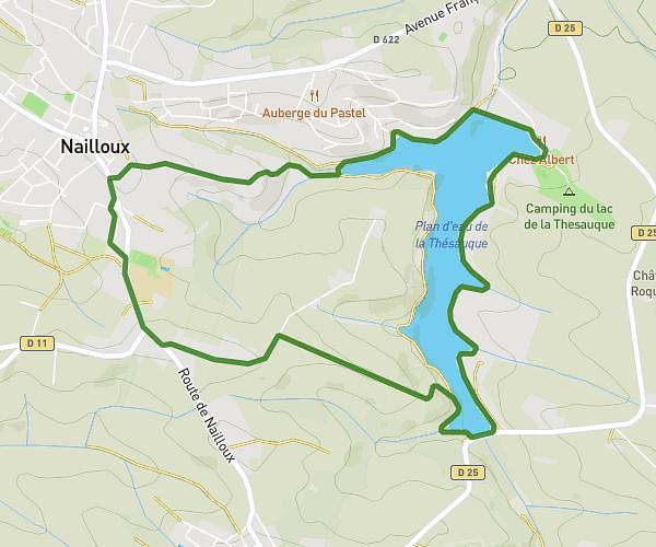
This hiking trail covers 8.38mi starting from Mazères, Ariège. The hike is a loop trail and returns to the trailhead. This hike is rated as easy, plan for about 3h12m to complete it. The route has an elevation gain of 256ft and an elevation loss of 262ft.
domaine des oiseaux /3 /13.5km
Route details
2.62mph
Speed
1357 kcal
Calories burned
1.2%
Avg grade
Loop trail
Route type
709ft
Min altitude
810ft
Max altitude
Route profile
256ft
Elevation gain
262ft
Elevation loss
709ft
Min altitude
810ft
Max altitude
How to get there
Trailhead: D 11, 09270 Mazères, France
GPS coordinates of the trailhead: 43.267341, 1.657405 / 43°16'2'' N, 1°39'26'' E