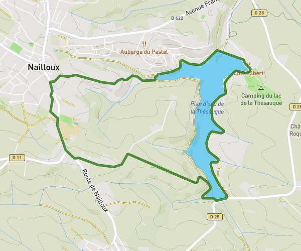
This hiking trail covers 1.121mi starting from Cintegabelle, Haute-Garonne. The hike is a loop trail and returns to the trailhead. This hike is rated as easy, plan for about 45m to complete it. The route has an elevation gain of 164ft and an elevation loss of 167ft.
Rando foret
Route details
1.5mph
Speed
330 kcal
Calories burned
5.6%
Avg grade
Loop trail
Route type
673ft
Min altitude
840ft
Max altitude
Route profile
164ft
Elevation gain
167ft
Elevation loss
673ft
Min altitude
840ft
Max altitude
How to get there
Trailhead: 55 Quartier Du Port, 31550 Cintegabelle, France
GPS coordinates of the trailhead: 43.30866, 1.55555 / 43°18'31'' N, 1°33'19'' E