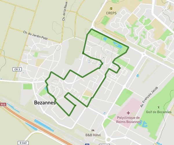
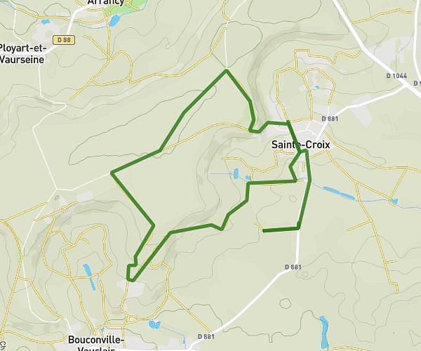
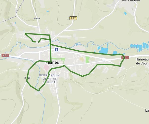
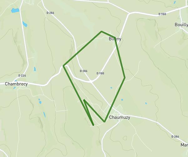
This running route covers 18.641mi starting from Reims, Marne. The run does not return to the trailhead and ends near 62 Avenue Brébant, 51100 Reims, France. This run is rated as strenuous, expect about 4h to complete it. The route has an elevation gain of 200ft and an elevation loss of 197ft.
30k
Route details
4.66mph
Speed
2744 kcal
Calories burned
Point to point
Route type
240ft
Min altitude
299ft
Max altitude
Route profile
200ft
Elevation gain
197ft
Elevation loss
240ft
Min altitude
299ft
Max altitude
How to get there
Trailhead: Pont De Saint-Brice, 51100 Reims, France
GPS coordinates of the trailhead: 49.26295, 4.00296 / 49°15'46'' N, 4°0'10'' E