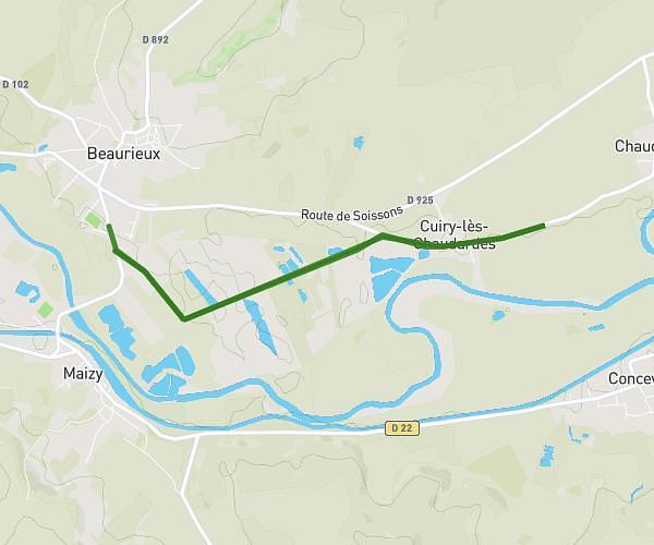
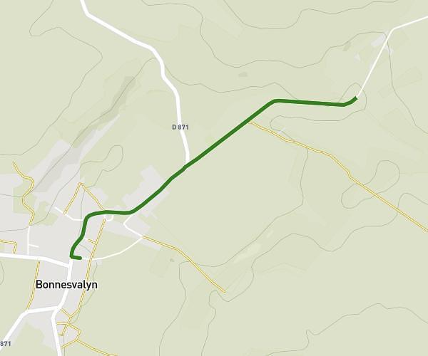
This running route covers 4.921mi starting from Sainte-Croix, Aisne. The run does not return to the trailhead and ends near D 881, 02820 Sainte-Croix, France. This run is rated as easy, expect about 53m to complete it. The route has an elevation gain of 545ft and an elevation loss of 630ft.
Sainte croix
Route details
5.57mph
Speed
606 kcal
Calories burned
Point to point
Route type
354ft
Min altitude
666ft
Max altitude
Route profile
545ft
Elevation gain
630ft
Elevation loss
354ft
Min altitude
666ft
Max altitude
How to get there
Trailhead: 4 Rue Des Crumonts, 02820 Sainte-Croix, France
GPS coordinates of the trailhead: 49.482732, 3.776565 / 49°28'57'' N, 3°46'35'' E