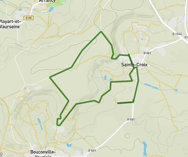
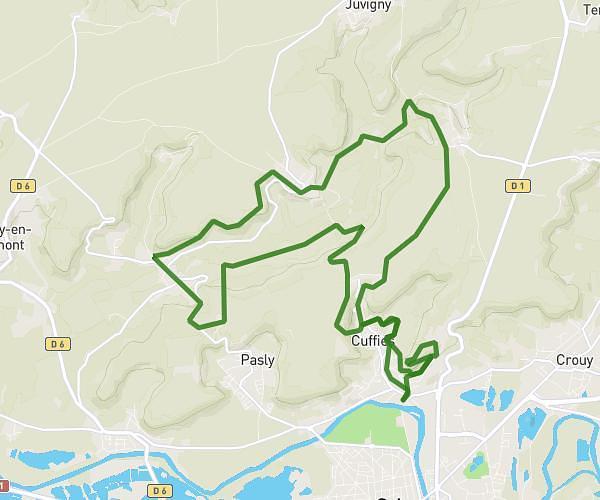
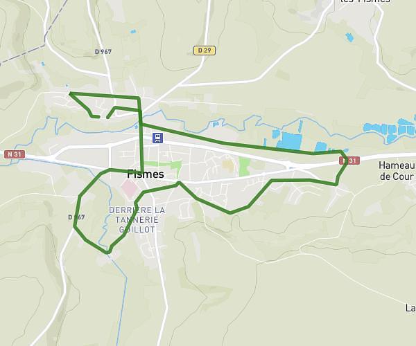
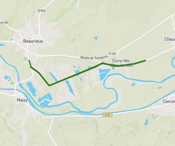
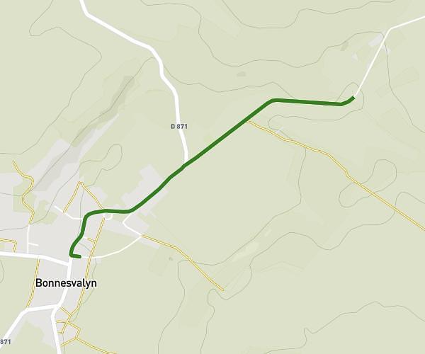
This running route covers 3.012mi starting from Laon, Aisne. The run is a loop trail and returns to the trailhead. This run is rated as easy, expect about 32m to complete it. The route has an elevation gain of 299ft and an elevation loss of 335ft.
laon
Route details
5.65mph
Speed
366 kcal
Calories burned
Loop trail
Route type
308ft
Min altitude
643ft
Max altitude
Route profile
299ft
Elevation gain
335ft
Elevation loss
308ft
Min altitude
643ft
Max altitude
How to get there
Trailhead: 15 Place Du Général Leclerc, 02000 Laon, France
GPS coordinates of the trailhead: 49.564887, 3.620673 / 49°33'53'' N, 3°37'14'' E