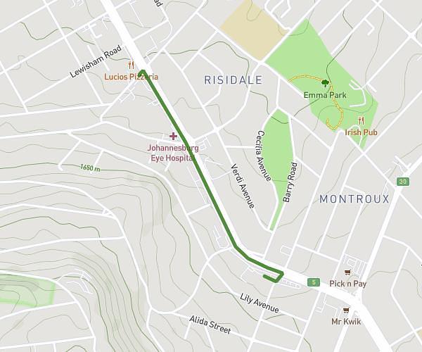
This walking route covers 2.213mi starting from Johannesburg, Gauteng. The walk is a loop trail and returns to the trailhead. This walk is rated as easy, plan for about 50m to complete it. The route has an elevation gain of 240ft and an elevation loss of 246ft.
Darrenhill
Route details
22:37/mi
Pace
204 kcal
Calories burned
Loop trail
Route type
5177ft
Min altitude
5328ft
Max altitude
Route profile
240ft
Elevation gain
246ft
Elevation loss
5177ft
Min altitude
5328ft
Max altitude
How to get there
Trailhead: Mountainview Avenue, 2195 Johannesburg
GPS coordinates of the trailhead: -26.13738, 27.97598 / 26°8'14'' S, 27°58'33'' E