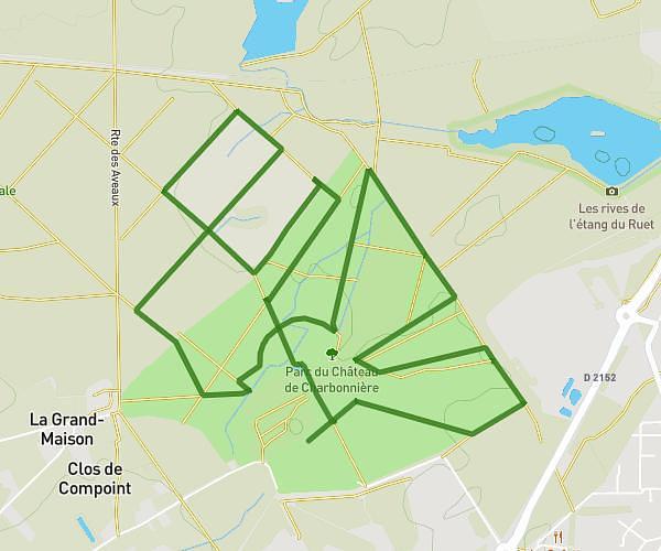
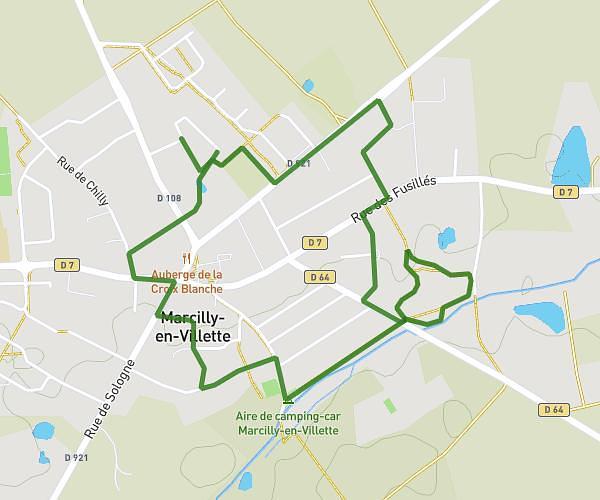
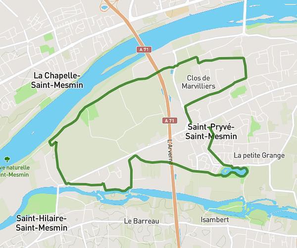
This running route covers 4.825mi starting from Orléans, Loiret. The run is a loop trail and returns to the trailhead. This run is rated as easy, expect about 52m to complete it. The route has an elevation gain of 59ft and an elevation loss of 26ft.
Charlemagne 8km
Route details
5.57mph
Speed
595 kcal
Calories burned
Loop trail
Route type
305ft
Min altitude
364ft
Max altitude
Route profile
59ft
Elevation gain
26ft
Elevation loss
305ft
Min altitude
364ft
Max altitude
How to get there
Trailhead: 9 Rue Saint-Pierre Lentin, 45000 Orléans, France
GPS coordinates of the trailhead: 47.90127, 1.90918 / 47°54'4'' N, 1°54'33'' E